Meteorologists continue to monitor satellite imagery and data, ground and sea observations, and RADAR imagery as they watch for the potential for tropical or subtropical cyclone trouble off of the Mid Atlantic Coast. To assist with their analysis, a hurricane hunter aircraft will be deployed to the storm system this afternoon for additional data-capture.
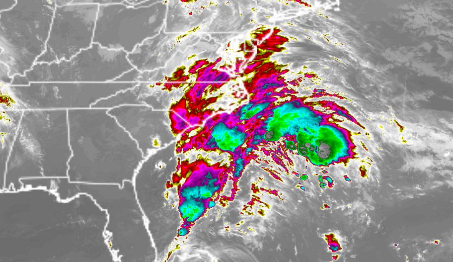
A well-defined, albeit non-tropical, low pressure system located about 200 miles southeast of Morehead City and Wilmington, North Carolina, continues to produce a large area of cloudiness and disorganized showers and thunderstorms. According to the National Hurricane Center (NHC), environmental conditions could briefly become marginally conducive for the low to acquire subtropical characteristics through early Sunday. However, in their latest Tropical Outlook update, the NHC says that by late Sunday and Monday, environmental conditions should become unfavorable for any further development.
For now, the low is forecast to move slowly northwestward during the next day or so, and approach the North Carolina coast tonight and early Sunday. The NHC cautions: “interests along the North Carolina coast should monitor the progress of this system.”
At this time, the NHC believes there is a 40% chance that a subtropical or tropical cyclone could form from this disturbance in the next 48 hours.
Even if the storm doesn’t take on more subtropical or tropical cyclone characteristics, intermittent periods of locally heavy rains and gusty winds will affect southeastern and eastern portions of North Carolina during the next day or two.
