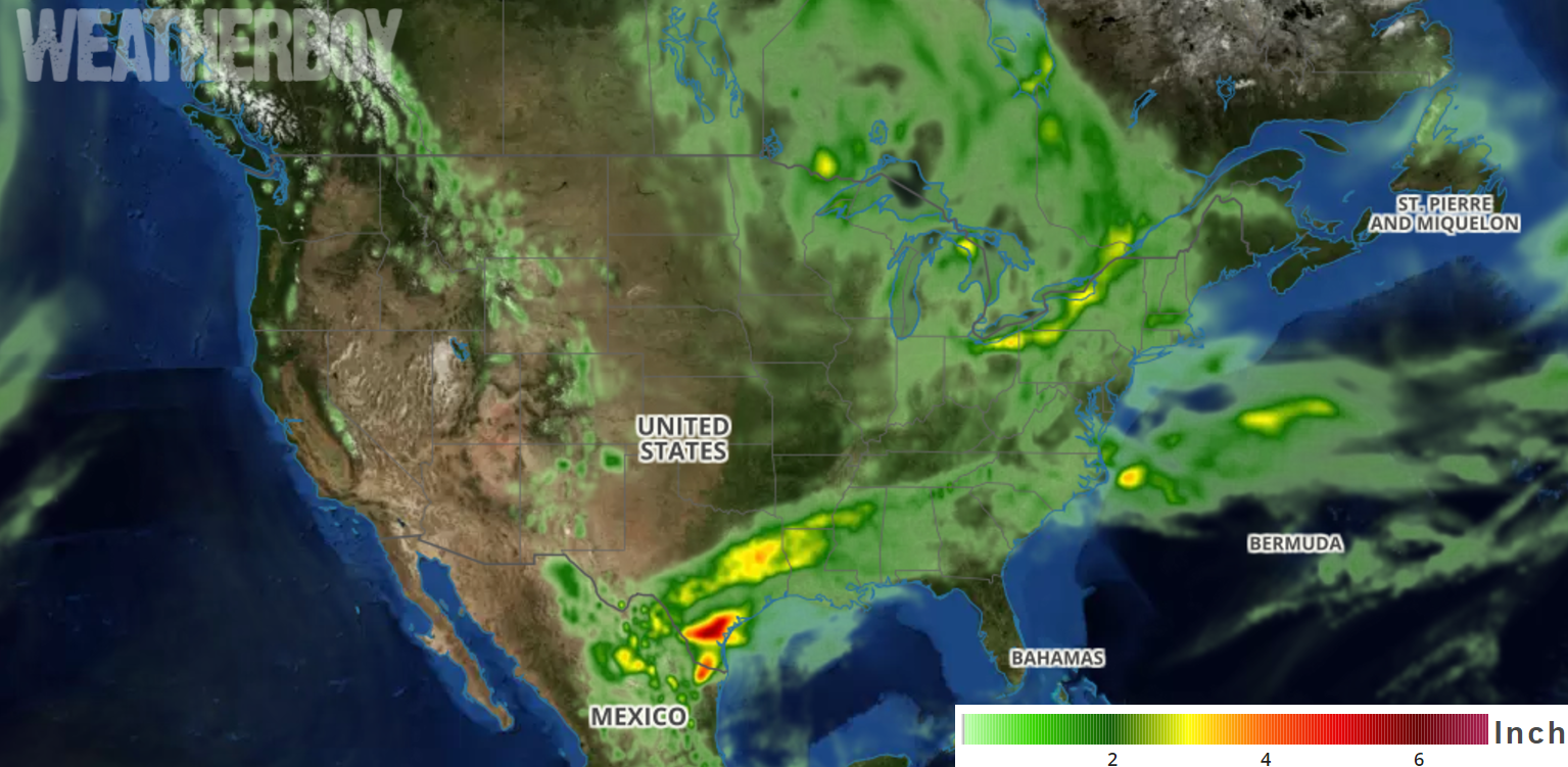
For many, the Memorial Day forecast will be a wet one, especially for portions of the northeast now stuck in a very wet weather pattern.
Over the next few days, a large upper-level low is forecast to deepen and move slowly eastward across the Great Lakes. This system will help keep temperatures below normal from much of the Great Plains eastward across the Mississippi Valley, the Great Lakes, and into New England. The large cyclonic circulation will rotate small-scale disturbances into the northern US, resulting in occasional showers and isolated thunderstorms, especially during the afternoon and early evening hours through Tuesday.

The main front associated with this system will reach the coast tomorrow afternoon but remain stationary there for 24-48 hours. Because that front won’t be moving much, there will be threat of showers and storms up and down the East Coast through Tuesday. The most humid and warm air mass will remain over the Southeast; with plenty of moisture to work with, heavier downpours and thunderstorms are possible.
While the east deals with a wet Memorial Day weather-wise, a high pressure system similar to one we usually see in winter is forecast to build southward from western Canada into the northern High Plains. This will send another batch of cool Canadian air into the area during the next couple of days. While that cool-down occurs, a brief heat-wave will visit the interior Pacific Northwest for the next 48 hours.
Warm temperatures will be in the west and south. While temperatures will reach into the mid 90’s as far north as the Snake River Valley in the northwest, temperatures over 100 are expected in the Desert Southwest.
