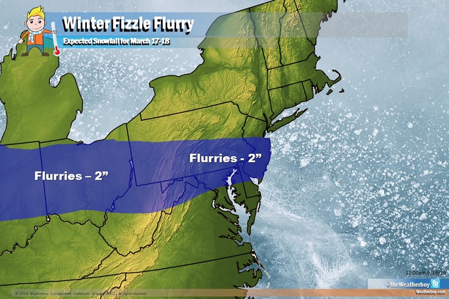
It appears for portions of the Mid Atlantic, winter is going to fizzle out with a flurry. An area of weak low pressure with limited moisture to work with is expected to swing from the Great Lakes region to the Mid Atlantic tomorrow into Monday. With just enough cold air to work with, an area of snow flurries and/or light snow will break out.
It appears the lackluster winter season that brought more rain than snow to most will end on a whimper, with a general break-out of flurries rather than significant, accumulating snow. Nevertheless, up to 2″ of snow could fall, and untreated surfaces could be slick. Marginal air temperatures and mild ground temperatures will greatly limit snow from accumulating. On the southern half of the snow flurry zone, light rain showers could also mix in at times, keeping accumulations close to zero.
Extended model guidance from the American GFS model shows no more snow threats for the balance of the month. While early April snow is always a possibility, it is unlikely to happen in this type of a weather pattern.