A wintry mixed bag mess is expected in the east this weekend, with snow, freezing rain, sleet, and plain rain forecast to push north and east this weekend. Accumulations of freezing rain and sleet could make getting around outside extremely difficult if not impossible in some areas; people with travel plans should incorporate this severe winter weather into their planning process. While this storm will be the third of three in a parade to impact the region over the last 7 days, it appears the upcoming week will be just as active with even more winter storms on the way.
Cold air is settling into the northeast while milder air will attempt to push north from the southeast.
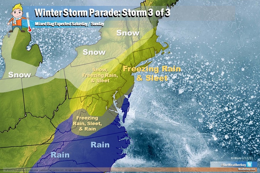
In the cold air that is deep and won’t be eroded away by approaching mild air, only snow will fall. This snow will be light and will fall across portions of Michigan, northern Indiana and Ohio, northwestern Pennsylvania, northwestern and northern New York, Vermont, and the northern 2/3 of New Hampshire. In this area, generally 1-3″ of snow could fall.

In the deep mild air coming up from the south, plain rain will fall. This plain rain will reach north into southeastern West Virginia, southern Virginia, and southeastern Maryland. Generally a quarter to a half an inch of rain will fall in this area.

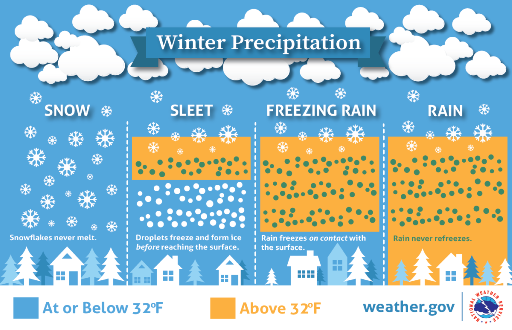
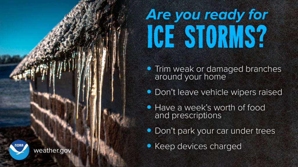
But in the area where the atmospheric profile will be split, with some cold air on the surface and milder air above, a mixed bag of precipitation types will fall. Where there’s an even split of cold/mild air, the dominant precipitation type will be a mix of freezing rain and sleet. This is most likely to be the precipitation that falls over northeastern West Virginia, much of Maryland, northern Delaware, the northern 2/3 of New Jersey, southern and eastern Pennsylvania, the New York City metro area and Long Island, Connecticut, Rhode Island, and much of Massachusetts. In this area, a glaze of ice of a hundreth of an inch to a tenth of of an inch is possible, with a narrow band of a thicker ice accumulation possible over central Virginia where up to a quarter inch of ice could accumulate. Ice a tenth of an inch or greater could weigh down on branches and wires, creating numerous power outages. Any glaze of ice could also make travel by vehicle or on foot very difficult if not impossible, especially on untreated surfaces.

On the northern side of this frozen mixed bag zone, snow will mix in at times too. This is most likely across central Pennsylvania, the Poconos, the Catskills, and interior central New England.
On the southern side of this frozen mixed bag zone, plain rain will mix in too. This is most likely across eastern West Virginia, central Virginia, southeastern Maryland, central Delaware, and southern New Jersey.
Wintry precipitation should develop from south to north Saturday afternoon, with most precipitation expected in two waves: Saturday evening and Sunday evening. Precipitation will be on and off and showery in nature.
As this storm moves out, a much more potent area of low pressure will be forming near Texas. As that heads north and east, another significant winter weather event is expected in the Mid Atlantic and New England regions by later Monday and Tuesday. More snow, ice, and rain is expected with that system. Precipitation types and amounts will be determined by the storm track, which isn’t completely known yet.