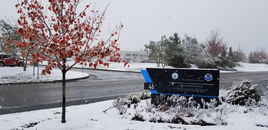
As forecast, cold air wrapped around in the wake of what was left of Hurricane Zeta produced a light to moderate snowfall across the northeast, with several inches reported from New Jersey to Massachusetts.
As of 2pm, the National Weather Service office responsible for Boston in Norton, Massachusetts reported 3.5″ of snow at the Boston climate site, breaking the previous daily record of 0.6″ and the monthly record of 1.1″.

Snow fell as far south as New Jersey today. In Sussex County, Frankford and Sparta each reported 2.5″ while High Point picked up 2.4″.
In Pennsylvania, a dusting of 0.9″ fell on Mount Pocono while Long Pond saw a third of an inch of snow.
4″ amounts were reported in New York, Massachusetts, New Hampshire, and Vermont.
While most precipitation has left the region, another danger lingers: black ice. Even areas that didn’t see snow could see ice form as wet pavement quickly freezes as temperatures plunge this evening. People are urged to exercise extreme caution on any untreated surface in the northeast tonight.
Tonight’s freezing cold temperatures will also produce a killing hard freeze for many, thereby ending the 2020 growing season. The National Weather Service has issued Freeze Warnings for counties throughout the Mid Atlantic where this threat is expected.