Update: August 8, 2017: The National Weather Service has confirmed that an EF-1 tornado is responsible for the damage in Salisbury, Maryland.
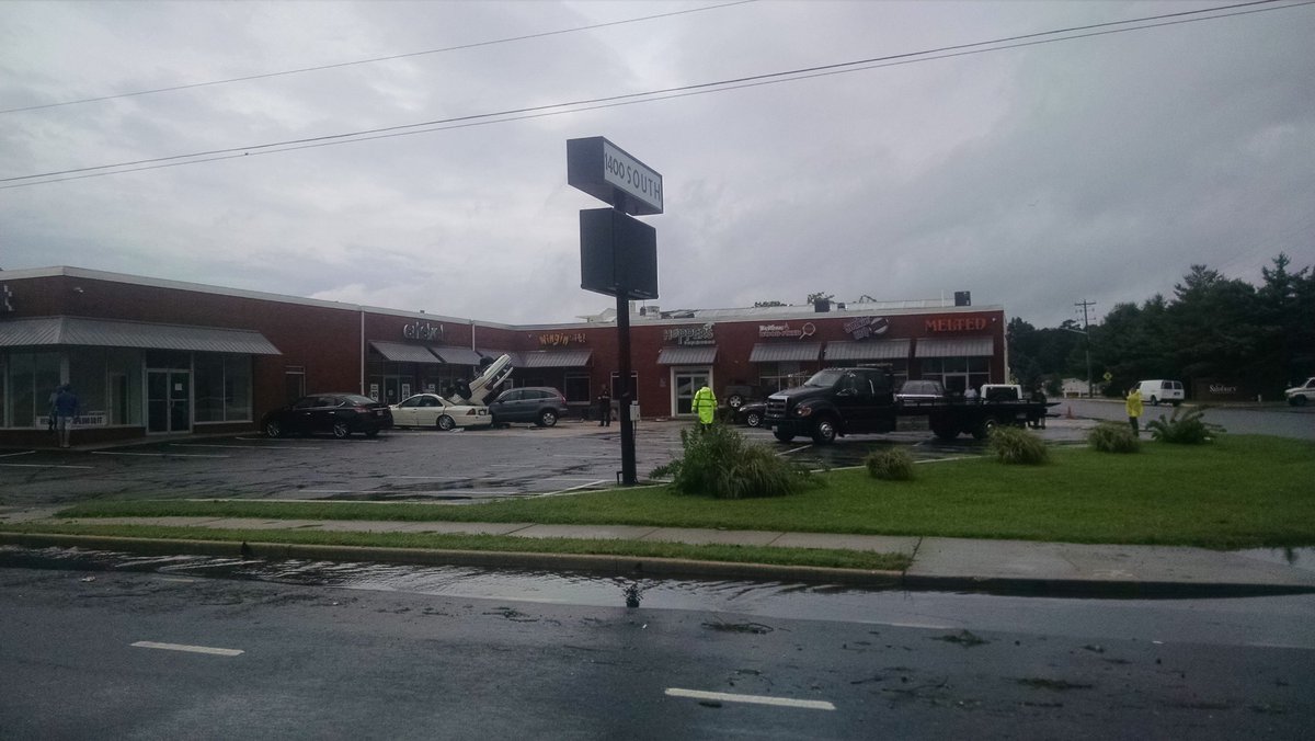
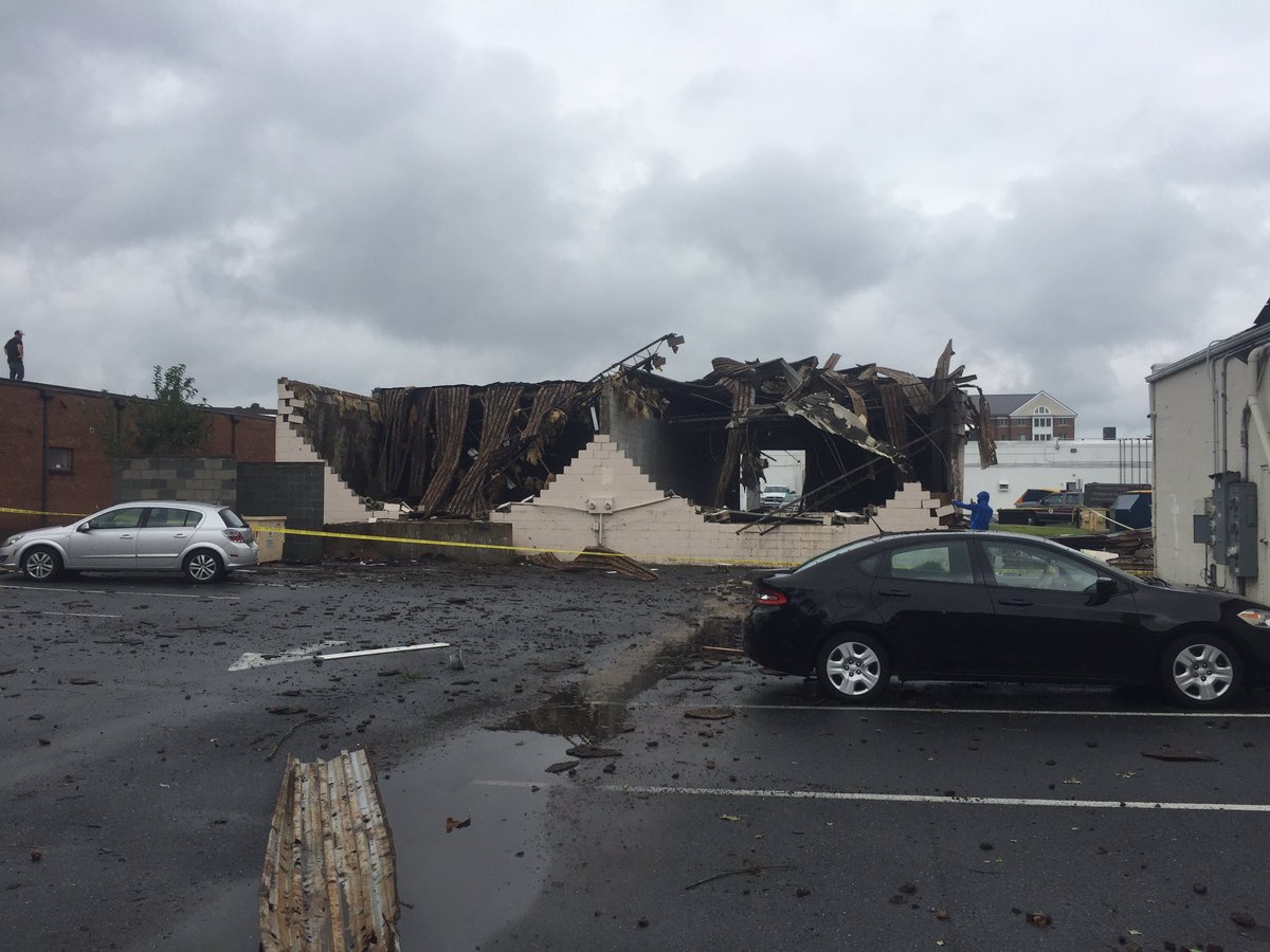
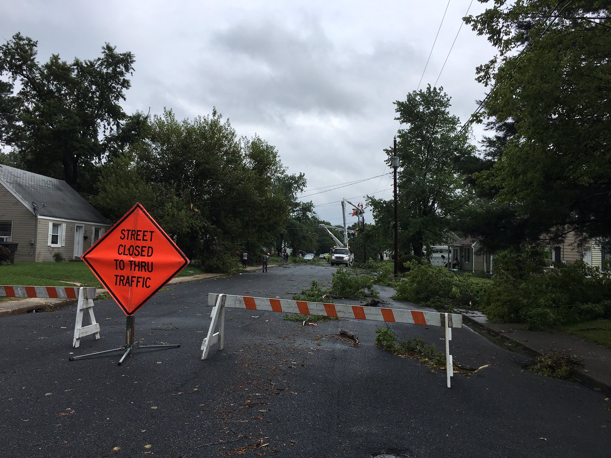
Crews are working in Salisbury, Maryland to clean-up a mess made by a violent thunderstorm that impacted the region earlier today. The damage, possibly created by a tornado, knocked down walls, tossed cars, and destroyed trees in the area shortly after 1:30pm today.
The National Weather Service office in Wakefield, Virginia, responsible for the area impacted by this storm, issued a preliminary storm report. In it, they described wind damage and pegged the time it happened to 1:41pm according to local weather RADAR.
The City of Salisbury shared these photographs with us; more are available on Twitter here.
Severe weather and heavy rain has plagued the Mid Atlantic most of the day. Tornado Warnings have been up for portions of Maryland, Delaware, and Virginia throughout the day. Meanwhile, further north, heavy rain has soaked portions of Delaware, southeastern Pennsylvania, and southern New Jersey. According to the National Weather Service office in Mount Holly, NJ, 6″ of rain fell in portions of Cumberland County, New Jersey, requiring them to issue a Flash Flood Warning there.


&npsp;
