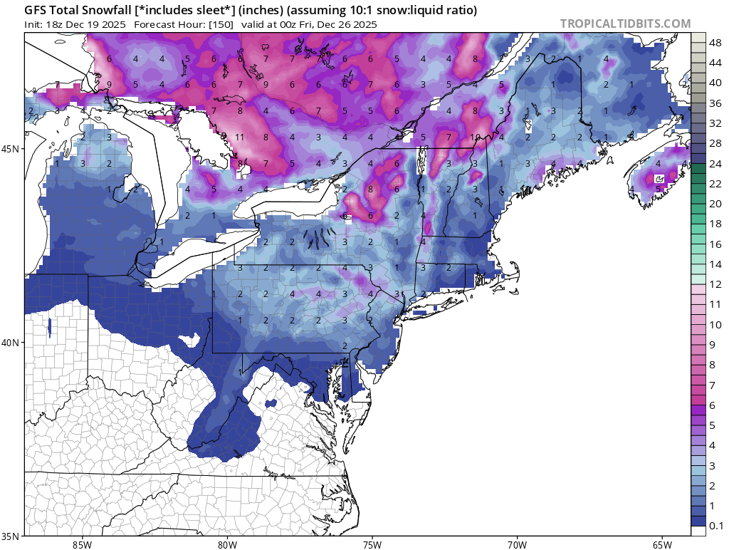
It appears chances for a White Christmas are melting away in the northeast, especially along and south of I-95 that saw accumulating snow last weekend. According to computer forecast guidance, such as the American GFS forecast model, any snow between now and Christmas will be confined to lake effect regions and the higher terrain of New England away from the coast.
While some earlier computer model runs earlier this month suggested a sizeable storm around Christmas Eve, such a solution appears to be very unlikely for now.
In the wake of tonight’s departing precipitation in the northeast, the region will remain relatively tame between now and Christmas. A weak disturbance should bring some light snow to the Mid Atlantic, including the Philadelphia and New York City metro areas on December 23 and shift into New England that evening. While some light snow is possible near the I-95 corridor around Philadelphia and New York, the light snow there could change to plain rain before ending, washing away any evidence of snowfall.
To the north, this weak system will drop more light snow, with moderate amounts possible in the highest terrain of northern New York, Vermont, and New Hampshire. But throughout coastal southeastern New England, for places like Boston south to Stamford, little to no snow is expected from this system.
Another surge of moisture should push through the northern Mid Atlantic on Christmas, but it will be too warm for snow; as such, scattered light rain showers are expected instead.
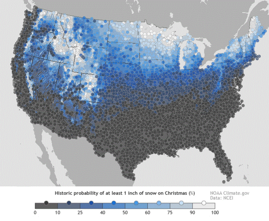
Source: National Oceanic and Atmospheric Administration (NOAA), Oceanic and Atmospheric Research (OAR), Climate Program Office (CPO), Climate.gov; NOAA National Centers for Environmental Information (NCEI)
