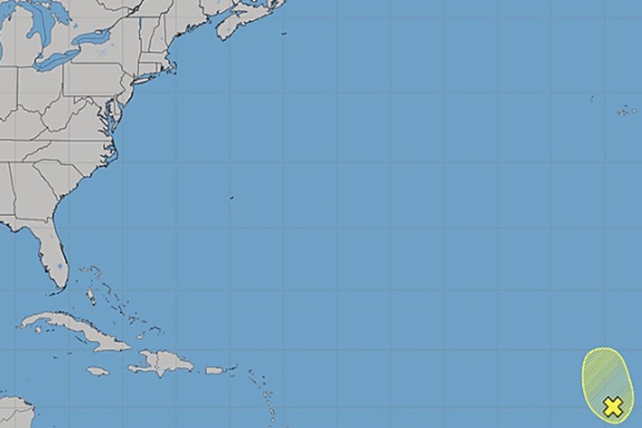
While the National Hurricane Center says today in their latest Tropical Outlook that tropical cyclone generation is not expected near the continental United States over the next 7 days, they are tracking an area that could develop in the central Atlantic.
An elongated area of low pressure centered a few hundred miles west of the Cabo Verde Islands is producing a large but disorganized area of showers and thunderstorms, extending from these islands southwestward into the eastern tropical Atlantic.
According to the National Hurricane Center, environmental conditions appear only marginally conducive for some development of this system over the next day or two before upper-level winds become too strong for any further development by midweek.
“Regardless, heavy rainfall is expected over the next few days for portions of the Cabo Verde Islands as the system moves slowly northward to north-northwestward,” cautions the National Hurricane Center.
Odds of formation are low; the National Hurricane Center says there’s only a 20% chance that a tropical cyclone will take shape here over the next 7 days.
The Atlantic Hurricane Season runs through the end of November. So far, there has only been on hurricane, Isaias, this season
