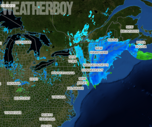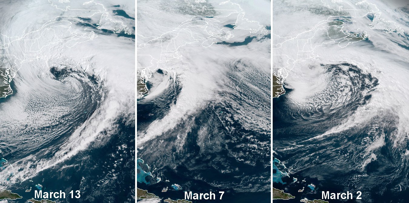

While heavy snow continues to fall across eastern New England from today’s blizzard, eyes are on the next potential nor’easter. With Old Man Winter clear he’s not ready to release his grasp on northeastern weather, at least as computer forecast model suggests, meteorologists are keeping an eye on the next two potential storm systems in the extended range that could bring more heavy snow, coastal flooding, and damaging wind problems to a region that doesn’t necessarily want it. Today’s storm marks the third nor’easter in 2 weeks, and the fourth may be on its way during the early to middle part of next week.
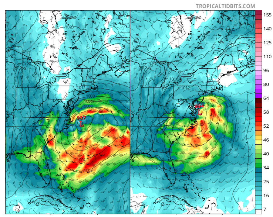
The European ECMWF forecast model, which best handled not only today’s nor’easter well, but the last one too, is suggesting an even larger storm will form early next week. Just under a week apart, the European forecast model is suggesting that a robust area of low pressure will form off the Mid Atlantic coast, explosively deepen, and move north and east up the US coast. Unlike today’s system, this next one, if the European forecast model is correct in its solution, will be colder, will feature a greater wind field, and will produce heavy snow over a much broader area than today’s system. While today’s system will dump heavy snow primarily over eastern New England, the European model is suggesting heavy snow into Virginia with more than a foot possible from Washington, DC to Boston, MA if it were to verify.
If the model verifies remains a big question. While the weather pattern continues to favor these east coast storms and their explosive development off-shore, forecast confidence in model output beyond five days is low at best. However, with the recent mid-range and short-range performance of the European forecast model, serious threats being depicted in model output for seven days in the future should be taken seriously.
The European ECMWF isn’t the only forecast model showing next week’s storm. Both the American GFS model and the Canadian GEM model also show another snowstorm impacting the eastern United States; however, the American forecast model brings the storm further south while the Canadian forecast model brings it further north. As additional data is ingested into the forecast models in the coming days, they should align around a general solution.

Image: RAMMB/CIRA