The Halloween forecast is a bit ghoulish this year in portions of the eastern United States where heavy rain and a severe weather outbreak is expected. A strong cold front will move across the Mid Atlantic tonight as low pressure moves out of the eastern Great Lakes and across New England and into southeastern Canada. This low will drift across eastern Canada, before high pressure moves into the Mid Atlantic Friday night into Saturday. A dry cold front will move across the area Saturday night, with high pressure expected Sunday night into Monday. Before dry, cold air enters the region, the next 12 hours will be wet and wild for many.

Winds will be increasing this afternoon in the northeast and Mid Atlantic. A southerly flow will be increasing steadily as the trough to the west acquires a neutral tilt and the attendant low pressure intensifies as it lifts northeastward toward Lake Ontario this afternoon. Despite abundant cloud cover, the steady south flow will usher in unseasonably warm/moist air roughly 10-15 degrees above seasonal averages.
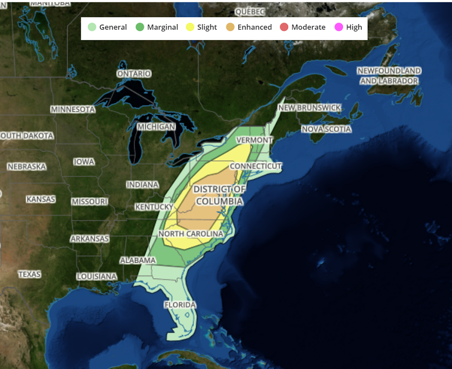
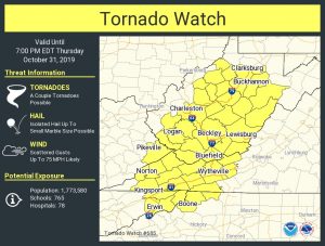
As the trough becomes negatively tilted with an impressive attendant mid-level jet max, ingredients will be coming together to create a severe weather outbreak. According to the National Weather Service’s Storm Prediction Center, the greatest threat of severe weather stretches from Pennsylvania south into northern North Carolina. Dangers in this severe weather outbreak include isolated tornadoes and damaging wind gusts. The National Weather Service has already issued a Tornado Watch for portions of the Eastern U.S. and additional Tornado and/or Severe Thunderstorm Watches and Warnings may become necessary as the evening evolves.

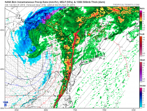
At around 6pm-9pm this evening, forecast guidance suggests a very strong and very long line of potent thunderstorms will develop and push east. This line of storms could produce destructive straight-line winds and isolated tornadoes. People, especially those planning outdoor Halloween activities, should closely monitor weather RADAR tonight as that line approaches and take immediate, safe shelter before it impacts.
Strong winds could be felt even after the front passes. The cold front will be readily felt, as winds switch to westerly and likely become stronger and gusty. However, in most areas, the strongest winds may be rather brief and
possibly associated with the convective line itself as it moves through this evening.
In addition to severe storms and gusty winds, the front will also bring substantially colder air very quickly; temperatures should drop 10-15 degrees within 2-4 hours of frontal passage.