Very strong and very dangerous, Major Hurricane Dorian continues to spin about in the Atlantic with the Bahamas next in its path. While it’s nearly certain that the northern and central Bahamas will be hit hard by this fierce storm, where Dorian heads next remains up for debate.
For now, the National Hurricane Center tasked with determining it’s future track wants to convey four key messages.

First, a prolonged period of life-threatening storm surge and devastating hurricane-force winds are likely in portions of the northwestern Bahamas, particularly on the Abaco Islands and Grand Bahama Island. A hurricane warning is in effect for these areas, and residents should listen to advice given by local emergency officials and have their hurricane preparations completed today.
Second, a life-threatening storm surge and devastating hurricane-force winds are still possible along portions of the Florida east coast by the early to middle part of next week, but since Dorian is forecast to slow down and turn northward near the coast, it is too soon to determine when or where the highest surge and winds will occur. Residents should have their hurricane plan in place, know if they are in a hurricane evacuation zone, and listen to advice given by local emergency officials.
Third, the risk of strong winds and life-threatening storm surge is increasing along the coasts of Georgia and South Carolina during the middle of next week. Residents in those areas should continue to monitor the progress of Dorian.
Fourth, heavy rains, capable of life-threatening flash floods, are expected over portions of the Bahamas and coastal sections of the southeastern United States this weekend through much of next week.
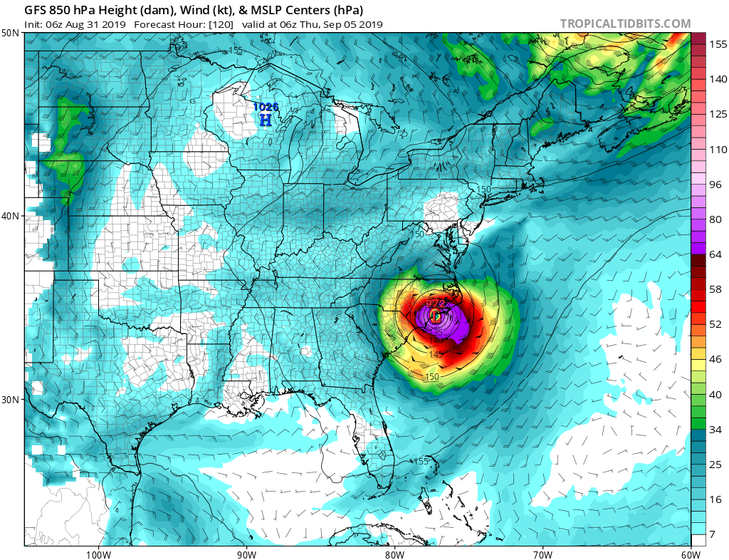
Yesterday morning and the day before, guidance suggested that steering currents would drive Dorian into the Florida Peninsula as a major hurricane. Since then, that same guidance is now suggesting that the storm will be near or just off-shore the Florida east coast, parallel the southeast coast, and move into or near the Carolina Coast before exiting the east coast.
It is still too soon to say what path the system will eventually take once it blows through the Bahamas. It is possible the National Hurricane Center may raise Tropical Storm or Hurricane Watches for portions of the coast later today to make sure people are properly preparing.
With forecast guidance shifting significantly this morning compared to yesterday morning, it may mean locations further up the east coast may need to deal with direct impacts from this major storm. People from Florida to New Jersey should make sure they have a Hurricane Action Plan in place; people in Florida should use today to act on the plan just in case the storm does landfall in the Sunshine State.
