Both the National Weather Service and Hawaii County Civil Defense are describing a major winter storm impacting the Big Island of Hawaii today a “catastrophe” with epic heavy rains, high surf, and extreme blizzard conditions with winds gusting to or over 125 mph in some locations. The worst of the storm is expected to impact the Big Island over the next 12 hours; it also appears the wet and wild weather could linger for days, putting people’s homes and lives in jeopardy while bringing a cold, soggy end to many others vacation plans.
According to the National Weather Service in Honolulu, Oahu, A “Kona Low” is responsible for the meteorological misery, bringing the threat of widespread heavy rainfall and thunderstorms, capable of producing catastrophic flooding, and strong south to southwest winds through the first half of the week. Impacts are expected to begin over the Big Island and Maui County through the day today, then Oahu and Kauai tonight into Monday.
The Kona Low gets its name from the change in wind direction that occurs when such a storm moves over the Hawaii Islands. Hawaii is dominated by the trade winds that typically blow in from the northeast. However, the counter-clockwise flow around a Kona low located west of Hawaii results in southwesterly winds over the islands, which is typically the leeward or “Kona” side. Kona Lows are most common between October and April. These type of storms draw abundant moisture up from the warm tropical waters that surround Hawaii; when this moist flow interacts with the steep topography of the island which helps to wring-out moisture, extremely heavy precipitation can fall. Because the wind flow around a Kona Low is atypical, flooding rains occur in places that may not ordinarily flood in tropical downpours that impact the islands from time to time.
“The National Weather Service forecasts this to be a Catastrophic Flooding Event with 20 to 25 inches of rainfall in isolated areas of Hawaii Island; know that rain events of this magnitude can affect areas that do not usually flood,” warned Hawaii County Civil Defense in a statement being shared frequently across island radio stations. They add, “All residents in flood prone areas are asked to remain alert for flooding conditions. Be prepared for sudden road closures, possible landslides, downed trees, and utility disruptions. Do not cross fast flowing water in your vehicle or on foot. Turn around don’t drown. If lightning threatens your area, the safest place to be is indoors. Due to the possible severity of weather forecast for today, Civil Defense encourages all non-essential outdoor activity and travel be suspended until conditions improve.”
In addition to extremely heavy rains, this storm system is also joined by extremely strong winds. The 20-25″ of rain expected over portions of Hawaii Island are equal to or much greater than the rain totals seen from an approaching hurricanes and tropical storm. Winds are at extreme levels across the islands. Wind gusts of 100-125 mph or more are possible on Mauna Kea and Mauna Loa, the two highest summits on Hawaii’s Big Island. On the Saffir-Simpson Hurricane Wind Scale, a 125 mph wind is the equivalent of a catastrophic Category 3 hurricane. On Maui’s highest summit, the popular tourist site of Haleakala could see wind gusts over hurricane strength to 90 mph too. Even sustained winds will be significant; southwest winds of 60 to 100 mph sustained are likely across the summits of Mauna Kea and Mauna Loa, with south to southwest winds of 40-60 mph sustained likely over Haleakala. Lower elevations aren’t escaping from strong winds either; the National Weather Service says south winds of 20-35 mph with gusts to near 50 mph are likely across the rest of the Big Island of Hawaii, including beach and coastal areas. “Winds this strong can tear off shingles, knock down tree branches, blow away tents and awnings and also make it difficult to steer, especially for drivers of high profile vehicles,” the National Weather Service Warns. “Watch out for falling tree branches when walking or driving. Make sure tents and awnings are secure or take them down. Be prepared for power outages. Secure outdoor holiday decorations.”

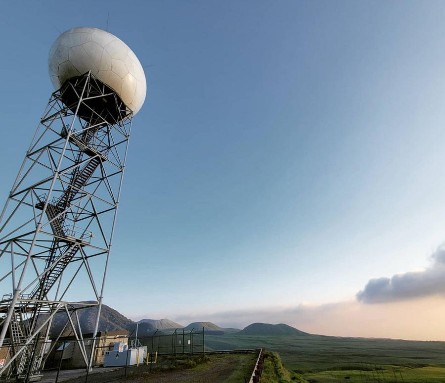
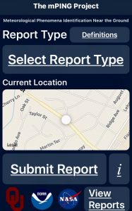
The Big Island of Hawaii has two National Weather Service NEXRAD RADAR units, one on the northwest side of the island on the slopes of the Kohala Mountain, and the other on the southeast side on the slopes of Mauna Loa near the town of Pahala. Because the volcanic mountain peaks are higher than these RADAR units, there are large gaps in RADAR-supplied weather data across the island. To help fill in the gaps with observation, the Honolulu office of the National Weather Service is encouraging people to use the mPing app to send in storm reports. National Weather Service meteorologist Robert Ballard wrote on Facebook, “Just want to remind everyone as the Kona low cranks up, that you can submit reports of flooding or wind damage to the National Weather Service in Honolulu using the mPING app! Your reports help us get a handle on what’s happening on the ground, especially in radar blocked areas!”

In addition to heavy rain, snow, and gusty winds, a High Surf Warning for west and north facing shores of Hawaii Island continues through Monday for surf up to 30 feet tall. “Surf of this size is extremely life threatening and may cause damage to boats and shoreline property,” warns Hawaii County Civil Defense. “Due to the High Surf Warnings all beach parks are closed today.”

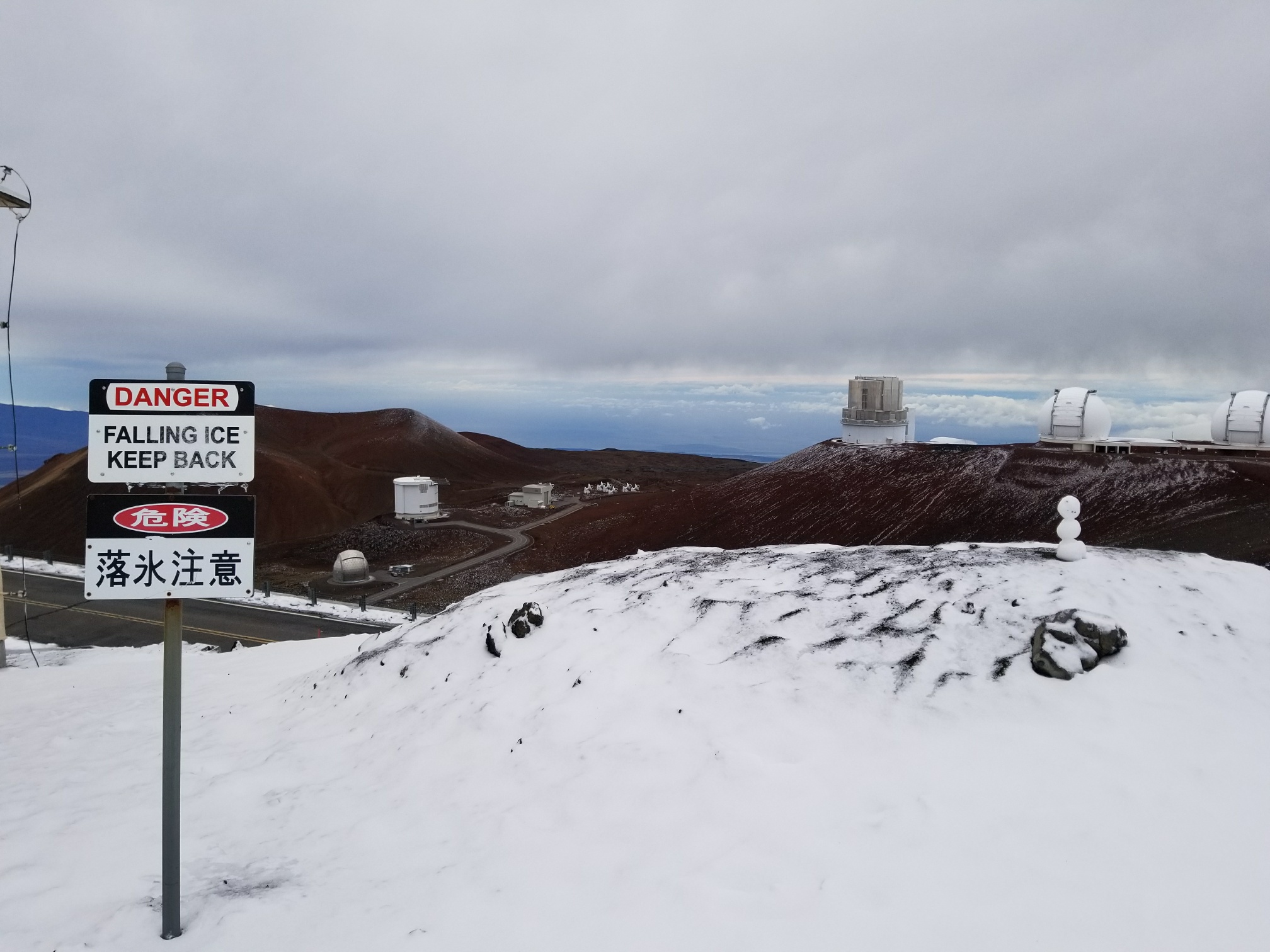
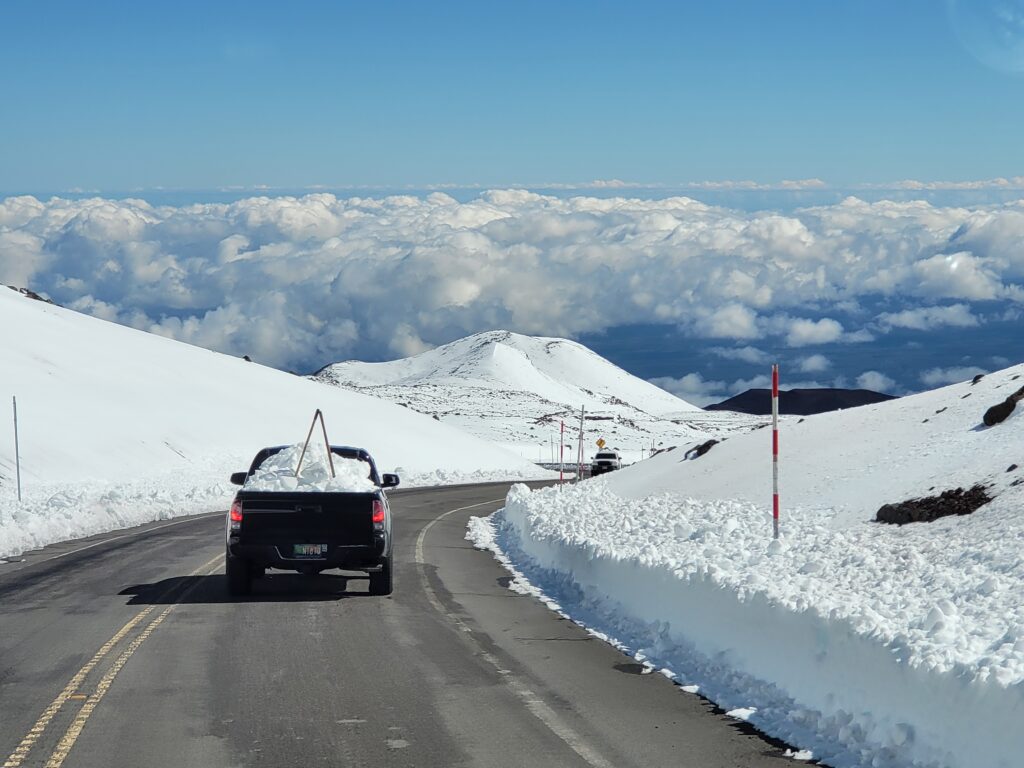
Roads on Hawaii’s Big Island are also closed due to snow and ice. Mauna Kea Rangers issued a Sunday morning update: “The access road to the summit of Mauna Kea will remain closed today due to icy road conditions, high winds and fog with poor visibility. There is also currently a High Wind Warning and a Blizzard Warning for the summit.” The Blizzard Warning was set to expire today but the National Weather Service made the decision to extend it through to 6am Monday morning. Additional snow accumulations up to 8″ are possible; however, with winds gusting around 125 mph, there could be epic snow drifts from blowing snow, even if just small amounts of snow fall. “Blowing snow will
significantly reduce visibility at times, with periods of zero visibility,” warns the National Weather Service. “Travel should be restricted to emergencies only. If you must travel, have a winter survival kit with you. If you get stranded, stay with your vehicle. ”