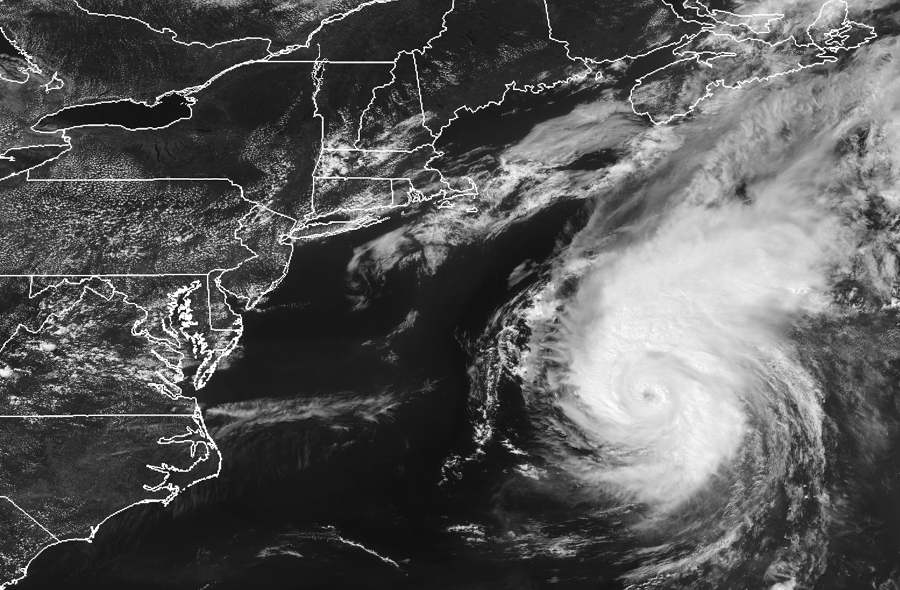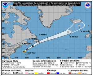
Hurricane Chris is a Category 2 hurricane on the Saffir-Simpson scale, fortunately this storm described as “extremely dangerous” will continue to dodge the U.S. East Coast, only bringing indirect impacts for portions of the Mid Atlantic and Northeast coasts. With winds slightly lower than they were earlier, some additional fluctuations in strength are possible today. Chris will be approaching and crossing the warm waters of the Gulf Stream today which will keep it alive for now. However, beyond 24 hours, as Chris enters much colder water, the National Hurricane Center expects Chris to rapidly acquire extratropical characteristics and no longer be a hurricane.

The National Hurricane Center has made no changes to the expected forecast track of Chris. Based on their latest analysis, Chris should continue accelerating toward the northeast ahead of an approaching mid-level trough over the next couple of days. By 96 hours, all of the global models forecast that Chris will begin to interact with another extratropical low, which should cause Chris to slow down, before the two lows eventually merge in about five days.
While Chris won’t bring any winds or rain to the U.S. East coast, rough surf, rip currents, and beach erosion are likely as indirect impacts from the storm. While the U.S. won’t see direct impacts, the same may not be true for southeastern Newfoundland in Canada. There, wind-whipped rains are possible as Chris approaches from the south.
People up and down the entire East Coast and Gulf Coast should make sure they have a Hurricane Action Plan. The 2018 Atlantic Hurricane Season runs through to the end of November. Even if Chris isn’t a direct threat, other storms this season could be.