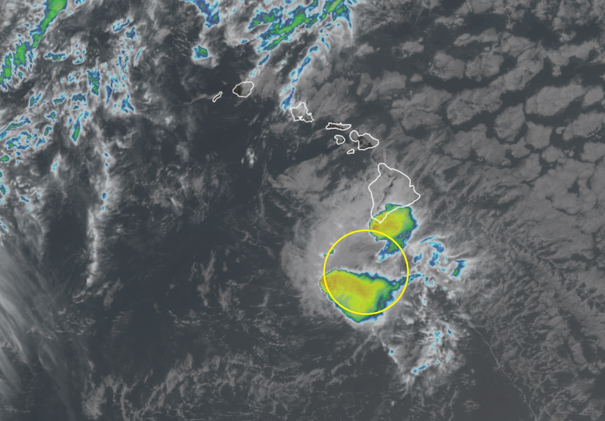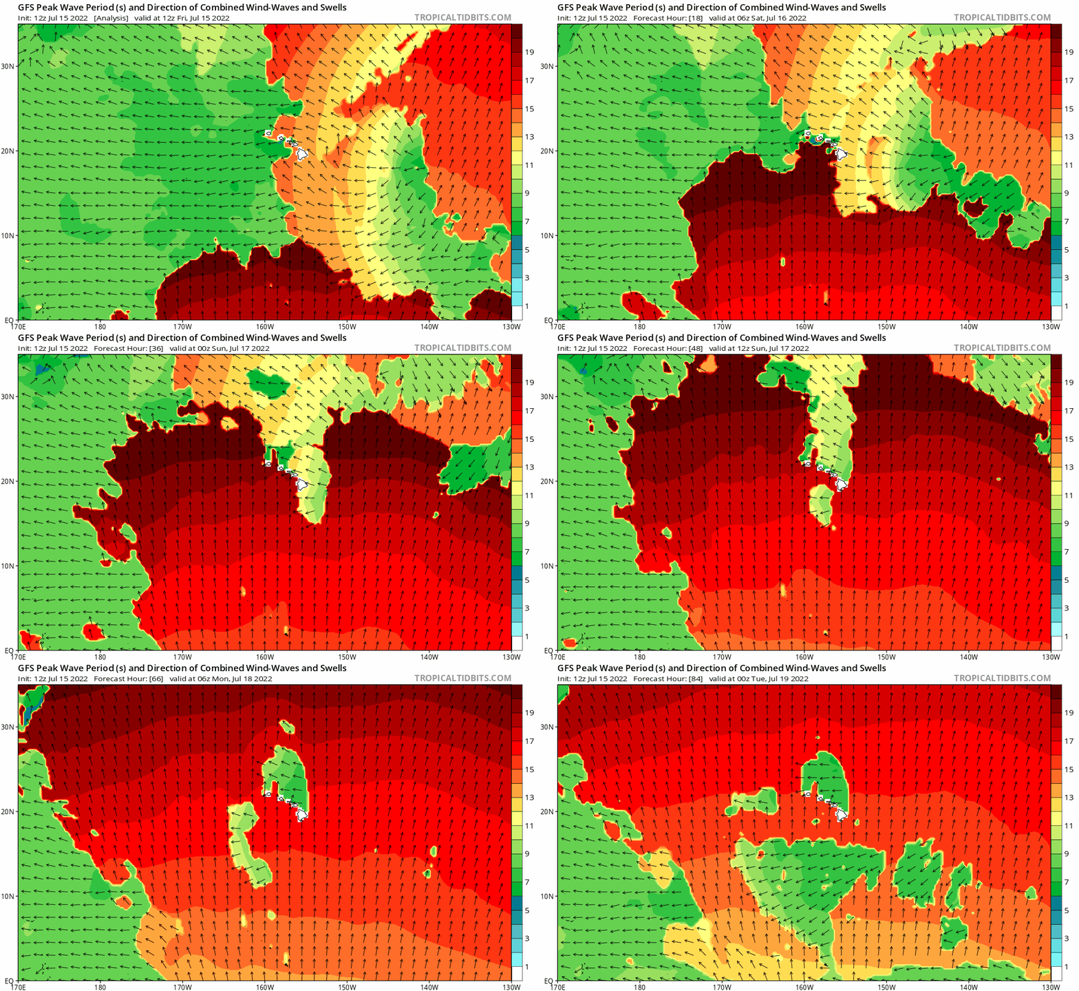
Tropical Storm Darby continues to dissolve, falling apart south of the Big Island of Hawaii. Unrelated to the tropical cyclone, a historic swell continues to pound the Big Island of Hawaii with large waves, forcing authorities to close many beaches there as 20′ swells arrive on shore. While things will quiet as the swell settles and Darby dissolves, eyes are back on the Pacific where Tropical Storm Estelle is gaining strength.

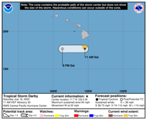
In the latest advisory from the Central Pacific Hurricane Center in Honolulu, Hawaii, Darby has maximum sustained winds of 40 mph, barely making it a tropical storm. Because those tropical storm force winds only extend out 35 miles from the center, none are reaching land in Hawaii. The system is moving to the west at 22 mph and should completely disintegrate later today south of the Aloha State. There are no Tropical Storm Warnings up for the Big Island of Hawaii, or any island in Hawaii.
Officially, Darby is forecast to become a tropical depression later today and become a post-tropical remnant low tonight, and dissipate entirely on Sunday.
The estimated minimum central pressure is 1007 mb or 29.74″.
Darby is producing rain showers, some heavy, mainly on the southeast and southern portions of the Big Island of Hawaii. Not far away in the northwestern corner of the island, conditions are relatively calm and partly to mostly sunny. In the heavier showers to the south, up to 2-4″ of rain could fall; such rains could cause minor flooding especially in low-lying and areas with poor storm drainage. Overall, impacts from Darby should be minimal across Hawaii Island …and almost nonexistent elsewhere in the island chain.
However, Hawaii is still being impacted by a significant swell event that originated in the Southern Hemisphere.

Due to the large swell impacting the islands from the south, numerous county and state beach parks throughout the state are closed today. Officials on the Big Island of Hawaii say they may also be closed tomorrow as crews clean-up any debris or hazards formed by today’s wave action. Swells of up to 20′ are possible on south-facing shores, with the greatest wave action expected today on the south coast of Hawaii’s Big Island. The National Weather Service office in Honolulu, Hawaii is describing today’s swell event as “historic”, showing just how rare it is for a swell event of this magnitude to visit the islands this way.
While conditions will calm around Hawaii in the coming days, eyes are returning to the eastern Pacific where a new system is developing. Known as Tropical Storm Estelle, the National Hurricane Center in Miami, Florida believes this latest storm will become a hurricane soon and strengthen more.
Based on the latest advisory from the National Hurricane Center, Estelle was located about 330 miles south of Manzanillo, Mexico. Maximum sustained winds are near 70 mph, making it just a few mph shy of becoming classified as a Category 1 hurricane on the Saffir-Simpson hurricane wind scale. Estelle is moving to the west-northwest at 9 mph; the estimated minimum central pressure is 993 mb or 29.33″. Estelle should reach hurricane status this evening; by Monday, it could reach major hurricane status and have maximum sustained winds in excess of 110 mph.
For now, Estelle is over open water, but is generating decent swell activity. Swells generated by Estelle are affecting portions of the southwestern coast of Mexico today and will spread northward to the coast
of west-central Mexico and the southern Baja California peninsula on Sunday and Monday. These swells are likely to cause life-threatening surf and rip current conditions.