Destructive winds, flooding rains, and damaging winds are slamming into the east coast today into tomorrow, prompting at least two governors to declare a State of Emergency. The first state to declare such a state of emergency was New Jersey, where Governor Phil Murphy announced that all 21 Garden State counties will be under a state of emergency beginning 5 pm this evening. Florida Governor Ron DeSantis also declared a state of emergency Tuesday for 49 of Florida’s 67 counties after tornados tore through the Sunshine State with more severe weather expected to push through the Sunshine State through the balance of today.
“This storm will exacerbate the effects of the inclement conditions we experienced in December and this past weekend and may precede another storm Friday night,” Governor Murphy said in a statement. “As always, I urge all New Jerseyans – including residents in our coastal and riverine communities – to follow all safety protocols and remain off the roads unless absolutely necessary.”
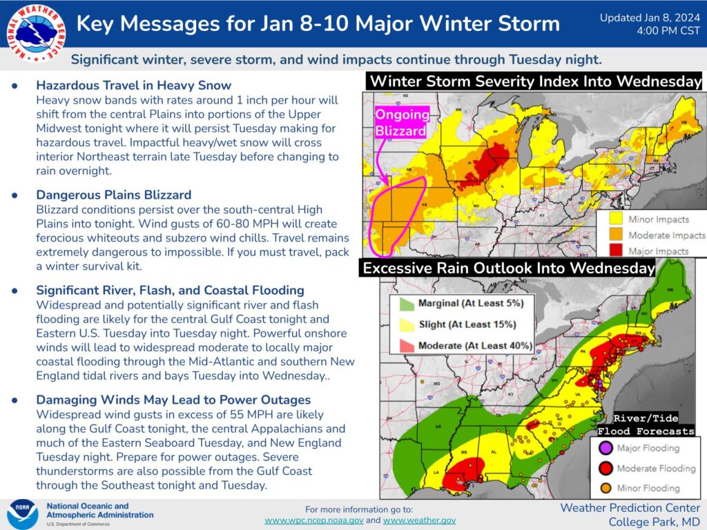
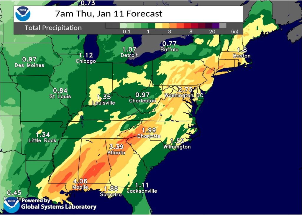
A widespread 2-4″ of rain is expected to fall across New Jersey, New York, Pennsylvania, and Connecticut between Tuesday afternoon and early Wednesday. In some cases, the heavy rain will be falling on top of heavy snow that fell over the weekend, leading to snow melt and run-off that’ll exacerbate flooding conditions in the region.
In addition to heavy flooding rains, destructive winds and damaging thunderstorms are also possible along with a variety of problems like coastal flooding and beach erosion at the coast.
A very potent mid-upper level trough over the Central U.S. is becoming negatively tilted and this is allowing for rapid surface cyclogenesis over the Midwest and Ohio Valley on Tuesday. The result will likely be a powerful surface low over Michigan by late Tuesday evening and this low will continue lifting toward the northeast across southern Ontario and into Quebec by Wednesday afternoon. A strong cold front trailing south from the parent low will exit the East Coast overnight Tuesday across the Mid-Atlantic and into early Wednesday morning for the Northeast U.S..
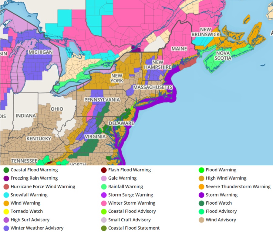
Widespread hazardous weather impacts are expected for the eastern third of the U.S. in association with this low pressure system, and numerous warnings and advisories are now in effect from the local National Weather Service forecast offices. One of the big things making weather headlines will be the widespread expanse of heavy rain capable of producing flooding from the Florida Panhandle all the way north to southern Maine. There is a Moderate Risk of excessive rainfall now highlighted by the Weather Prediction Center for the Tuesday-Tuesday night time period from northern Virginia to southern New England, where the combination of 1 to 3 inch rainfall totals over highly saturated, and in some cases snow covered ground, along with swollen creeks and streams, will elevate the potential for flooding across this region.
Turn around, don’t drown! NEVER DRIVE THROUGH FLOOD WATERS! https://t.co/zjljA54t35
— the Weatherboy (@theWeatherboy) January 9, 2024
Another major issue that is quite concerning is the powerful 850 mb low level jet that will be in place just ahead of the cold front as it approaches the East Coast, with southerly winds 75 to 100 mph just a few thousand feet above the surface. At the surface, this will likely result in widespread 30-50 mph winds, especially near the coast and for elevated areas where gusts will likely exceed 50 mph. Due to this damaging wind potential, the National Weather Service has posted High Wind Warnings for many areas of the northeast, with the worst of the winds expected near New Jersey, Delaware, Pennsylvania, New York, and Connecticut. In this area, power outages are a real possibility.
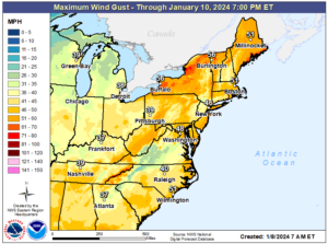
Strong winds will also cause instances of coastal flooding where strong onshore flow piles up water into rivers and bays leading to additional coastal flooding and storm-related inundation.
Severe thunderstorms are also expected from northern Florida to the coastal plain of the Carolinas, where a favorable combination of kinematics and instability will fuel intense storms capable of producing damaging winds and tornadoes. Numerous Tornado Warnings have already been issued today with more likely into this evening.
Conditions should slowly improve going into Wednesday in the wake of this intense storm system across the Eastern U.S., although it will still be rather breezy with west to northwesterly flow, and snow showers for the western Great Lakes and the eastern Ohio Valley. A weaker low pressure system is forecast to approach the Upper Midwest and Great Lakes region on Wednesday into Thursday morning, but it will not have much moisture to work with, so mainly light snow is expected with that event.
However, it is possible another significant storm like today’s could hit the same areas once again this coming weekend.
