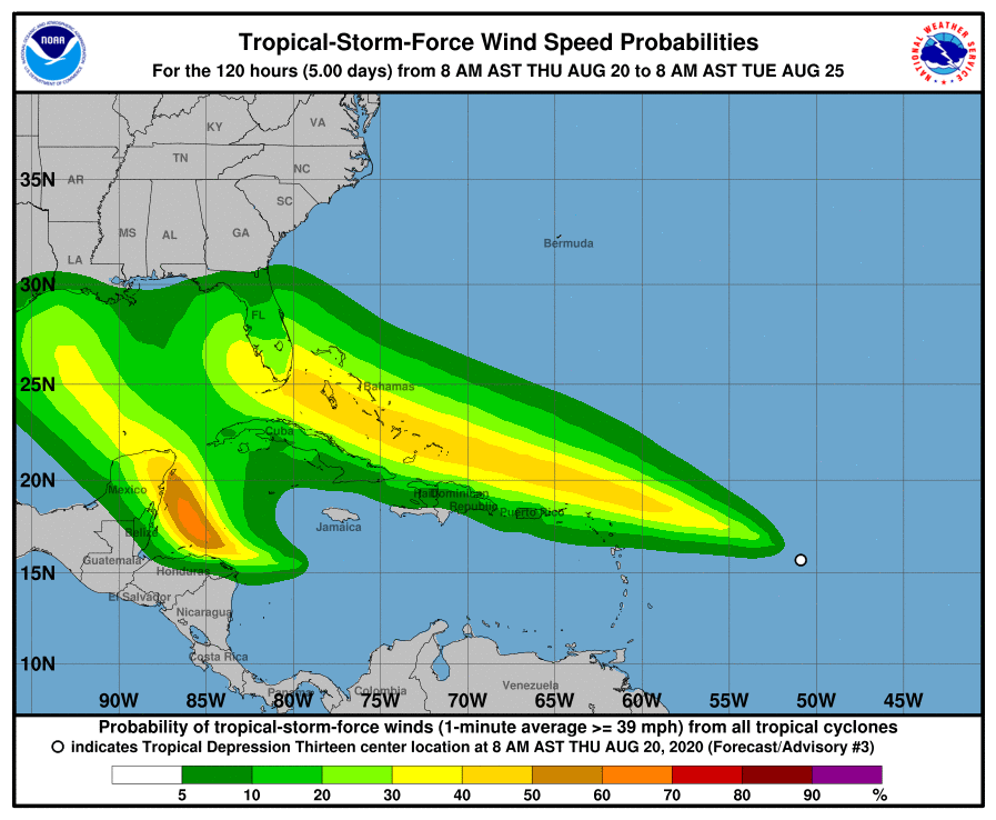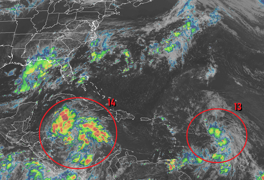
Things are getting busy at the Miami, Florida – based National Hurricane Center today, with two tropical cyclones becoming better organized and heading in the general direction of the United States. Worse, it appears even more storms will behind these next two systems. This activity is breaking records in the Atlantic; the basin is producing more storms earlier in the year than ever before on record. The two tropical cyclones gaining strength today are forecast to become tropical storms soon; when that happens, the first will be called Laura while the second will be called Marco. When Laura forms, it will become the earliest “L” storm in the Atlantic basin on record, breaking the record set by “Luis” on August 29, 1995. Meanwhile, the “M” storm has never been reached before September 2 in the record books. The Atlantic hurricane basin has already had 11 named storms this season, the most on record through yesterday. The prior named storm record was only 9 set in 2005.
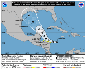
Earlier today, the National Hurricane Center classified a new tropical cyclone as Tropical Depression #14. It is currently located roughly 210 miles east of Cabo Gracias a Dios on the Nicaragua / Honduras border. Because of expected impacts from this system, a Tropical Storm Watch has been issued for the coastline stretching from the Honduras/Nicaragua border westward to Punta Castilla, Honduras and for the Bay Islands of Honduras. A Tropical Storm Watch means that tropical storm conditions are possible within the watch area, in this case within the next 36 hours. According to the NHC, additional watches or warnings, including for the Yucatan Peninsula of Mexico, may be required later today.


The watches are up because the NHC believes this depression will become a tropical storm later today or tonight. While maximum sustained winds are near 35 mph now, the NHC expects it to approach hurricane strength by the time it reaches the Yucatan Peninsula of Mexico late Saturday. From there, the system is forecast to enter the Gulf of Mexico, where the storm could eventually strike the U.S. Gulf Coast. While it is still too early to say with certainty where this system will go or how strong it’ll be when it gets there, odds are increasing that a landfalling hurricane will be possible on the U.S. coast sometime during the early to middle part of next week.
While tropical storm conditions from Tropical Depression #14 are possible over the watch area tonight and tomorrow, 1-2″ of rain is forecast across Jamaica and northern Nicaragua and 2-4″ over portions of Honduras.
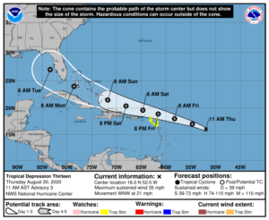
The National Hurricane Center is also tracking Tropical Depression #13 which formed yesterday. This is an even more impressive storm on satellite and could also threaten the U.S. East and Gulf Coasts as a major hurricane over time. This system is currently located about 750 miles east of the Northern Leeward Islands. A Tropical Storm Watch is in effect Saba and St. Eustatius, St. Maarten, Antigua, Barbuda, St. Kitts, Nevis, and Anguilla. In this case, a Tropical Storm Watch means that tropical storm conditions are possible within the watch area, generally within 48 hours. The NHC warns that additional watches or warnings may be required later today elsewhere in the Leeward Islands, the Virgin Islands, and Puerto Rico.

This depression is moving toward the west-northwest near 21 mph and the NHC expects this motion to continue for the next few days. On the forecast track, the depression is expected to move near or north of the northern Leeward Islands by late Friday and near or north of the Virgin Islands and Puerto Rico on Saturday. While winds are near 35 mph now, the NHC expects gradual strengthening and the depression is expected to become a tropical storm later today.
The storm is expected to continue to gain strength as it marches west north of Dominica and Cuba, becoming a hurricane before arriving near the Florida coast. It is too early to say whether the storm will impact the east coast, cross the Florida Peninsula, or travel through the Keys and come up the Gulf Coast. However, it is becoming likely some direct impacts with Florida are possible and those impacts could be at least at hurricane strength by the early part of next week.
The National Hurricane Center is also tracking another system in the far Atlantic that can also become a tropical cyclone over time. A tropical wave nearing the western Africa coast is producing disorganized showers and thunderstorms within a few hundred miles of the coastline. This wave is expected to move over the far eastern tropical Atlantic on Friday, and some slow development is possible through the weekend while it moves west-northwestward at 15 to 20 mph across the eastern tropical Atlantic. Beyond Laura and Marco, the next named tropical cyclone in the Atlantic would be called “Nana.” It is likely more tropical cyclones will blossom in the Atlantic in the coming weeks as the traditional peak of the hurricane season arrives.