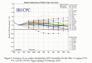
El Nino is back and although it remains weak, the phenomenon will likely continue through the summer and early autumn. The latest computer forecasts continue to predict that sea surface temperatures will continue to run +0.5°C across the central and eastern Pacific.

This current event was late; it started at the end of January and early February, much later than the typical El Nino event which peaks between October and March. Fortunately, the current event is expected to remain relatively weak and will be nothing like the most recent severe event of 2015-2016. That year brought a strong El Nino which brought about very wild weather. As an example, portions of the eastern U.S. saw periods of unseasonably warm temperatures; as an example, Philadelphia saw a high of 71 on Christmas Eve.
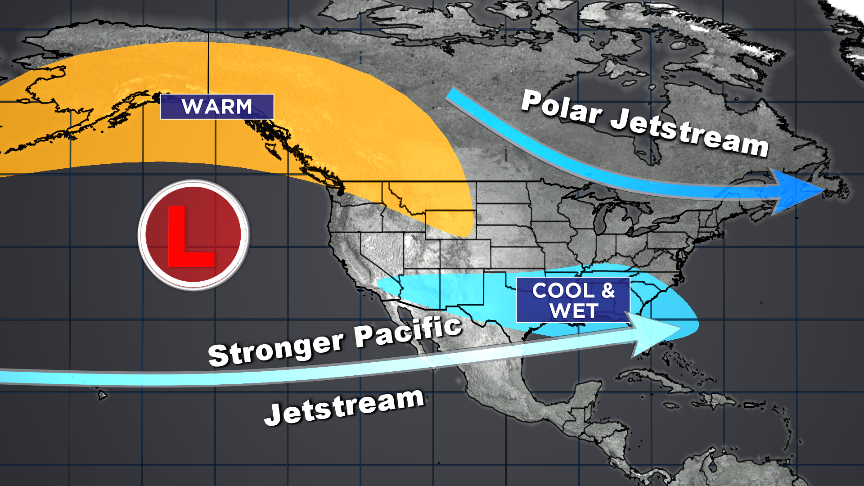
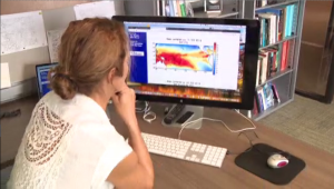
Despite the late start and relatively weak event underway, the impacts are already being felt with warmer and wetter weather across the West Coast and severe weather across the southeast. In fact, as the Central and Eastern Pacific continues to remain warmer than average, it can impact weather patterns across the globe. “The Pacific is the heat engine of the climate system,” said Amy Clement, a professor of Atmospheric Science at the Rosenstiel School of Marine and Atmospheric Science. The school is located on Virginia Key adjacent to Miami, Florida. Sitting in an office overlooking Biscayne Bay, Clement’s attention is on the computer screen showing the development of the current El Nino. “Imagine dropping a pebble in a pond and is sends out ripples,” she says, relating to how what happens in the Pacific can impact global weather patterns. “The pebbles are these giant convective clouds that have all kinds of weather associated with them. They send the ripples throughout the global atmosphere.”

The abnormally warm sea surface temperatures that signal an El Nino event can shift the nearby weather circulations which can often influence local weather patterns. However, one thing that Clement cautions against is there isn’t an exact link. “It’s not perfectly correlated. Every time the Tropical Pacific warms you don’t always have the same response,” Clement said.
El Nino can influence the weather patterns but a weather pattern may develop which could be strong enough to overcome that influence. A strengthened Pacific Jet as a result of El Nino can create increased wind shear in the Atlantic. With an increase in wind shear there tends to be below average tropical activity for season while an El Nino event is occurring. “Just because there is an El Nino does not mean there will not be hurricanes,” said Ben Kirtman, a climate modeler and professor at the Rosenstiel School. Kirtman added, “It reduces the chance of hurricane formation but there will likely still be a few.” Analysis of the Pacific shows a lot of heat collecting there, with forecasts pointing to El Nino persisting for the start of the upcoming hurricane season. “There are things we just don’t know; gaps in our observing points,” Kirtman said. Because of those unknowns, people should not let their guard down ahead of the upcoming hurricane season which starts on June 1.
While such gaps can lead to uncertainty for the future of the current El Nino, especially though the spring, people need to remain on-guard this summer. Even if El Nino continues into this year’s hurricane season, a below average season forecast can still produce major hurricanes that can and have made landfall. It just takes one landfalling hurricane to produce a catastrophe, as the residents of Florida who dealt with Hurricane Michael in 2018 learned.