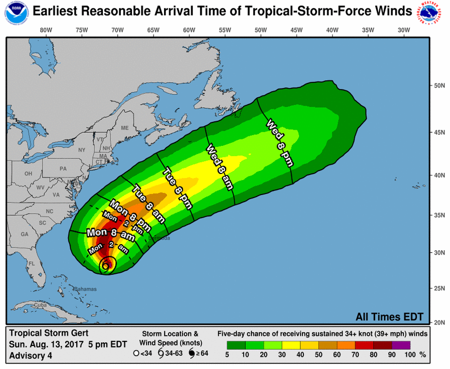
Tropical Storm Gert has formed; the meteorologists at the National Hurricane Center (NHC) upgraded Tropical Depression #8 to the Atlantic Hurricane Season’s newest storm in their 5pm advisory. According to the NHC, satellite images indicate that the tropical cyclone is gradually strengthening and that banding features have become better established during the last several hours. The NHC also pointed out that the system has become less vertically tilted, showing a better organized tropical cyclone.
Gert is moving north-northwestward at 9 kt on the southwestern periphery of a subtropical ridge. A northward motion is expected tonight and Monday while the system rounds the western side of the ridge, and Gert is expected to be about midway between Bermuda and North Carolina on Monday and Tuesday. After that time, a progressively faster motion to the northeast and east-northeast is forecast as the system moves on the north side of the ridge and becomes embedded in the mid-latitude westerlies until it dissipates in about 5 days.
Gert is over warm 29 deg C sea surface temperatures and it will remain over these warm waters during the next few days. In addition, the global models indicate that the upper-level pattern should become conducive for strengthening during the next 36 hours or so. The combination of these conditions should allow Gert to strengthen during the next couple of days. Thereafter, a sharp increase in west-southwesterly shear, drier air, and decreasing sea surface temperatures should end the strengthening trend and lead to extratropical transition in a little more than 3 days.
