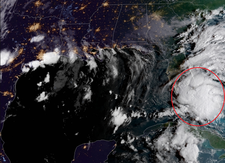
The National Hurricane Center upgraded the tropical disturbance nearing south Florida to Tropical Storm Gordon this morning. Tropical Storm Warnings have been issued for portions of south Florida and the Keys as a result. As of 8:05am ET, Gordon has maximum sustained winds of around 45 mph and is located at 25.1N 80.6W. The storm is roughly 10 miles west of Key Largo, FL and 30 miles east of Cape Sable, FL. Movement is to the west northwest at 16mph. Minimum central pressure of the new tropical storm is 1009mb or 29.79″.

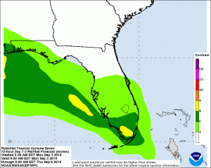
Over time, Gordon is expected to enter the Gulf of Mexico and strike the central Gulf Coast. Residents in the current Tropical Storm Warning and Watch areas should act on their Hurricane Action Plan to stay safe. One of the largest problems created by this storm will be its heavy rain. More than 4″ is expected over portions of southern Florida today. The heavy rain threat will shift to the central Gulf Coast where Gordon is expected to impact in the coming days.
With the threat of heavy rains arriving, people in Florida and the central Gulf Coast should prepare for flood conditions. A Flood Information Center has been created here to help you.