
The Gulf of America is back on alert for the possibility of a new tropical cyclone forming there in the coming days. The National Hurricane Center in Miami, Florida is tracking the possibility of tropical cyclone formation; however, they caution that even if one doesn’t form, soaking rains could add to flooding woes in places that don’t need any more rain like Texas and Louisiana.
A trough of low pressure near the southeastern U.S. coast is producing disorganized showers and thunderstorms. According to the National Hurricane Center, over the next day or two, this system is forecast to move west-southwestward into the north-central portion of the Gulf where some slow development is possible.
The National Hurricane Center writes in their latest Tropical Outlook that “by this weekend, the system is likely to move inland, ending its chances for development.” They add, “Regardless of tropical cyclone formation, locally heavy rainfall is possible for portions of Florida over the next day or so, and for the northern Gulf coast through this weekend.”
Right now the National Hurricane Center says there’s only a 10% chance that tropical cyclone formation will occur before it moves into the Gulf coast.
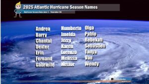
The Atlantic Hurricane Season started on June 1 and runs through to the end of November. Andrea, Barry, and Chantal have already formed; the next named storm of the season would be called Dexter.
