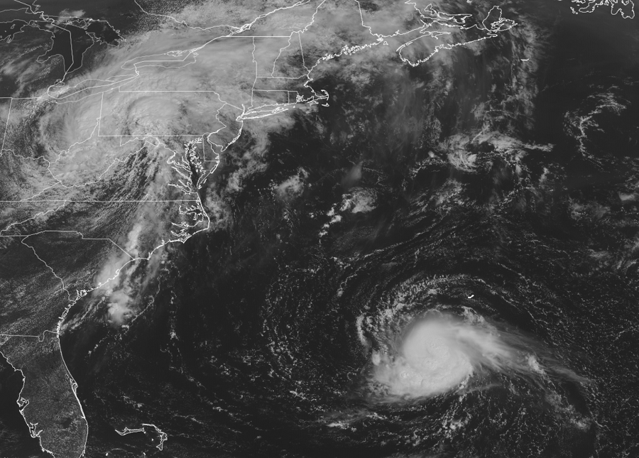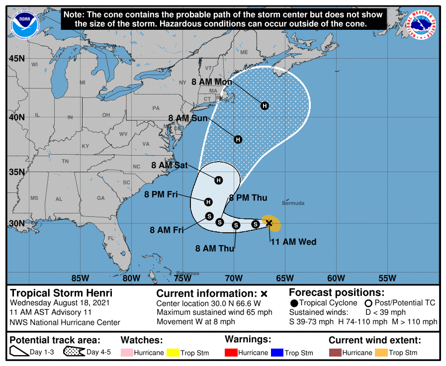
Tropical Storm Henri is intensifying and could pose a threat to the U.S. East Coast over time as a hurricane. Due to the threat of a possible east coast landfall, the National Hurricane Center (NHC) says NOAA Gulfstream IV missions and special weather balloon soundings have been scheduled to capture additional data that will help the computer forecast models handle the evolving steering pattern that Henri is in.
Even if Henri doesn’t strike the east coast, swells from it could reach much of the east coast of the U.S. and Atlantic Canada by the end of the week and continue through the weekend. These swells could cause life-threatening surf and rip currents.

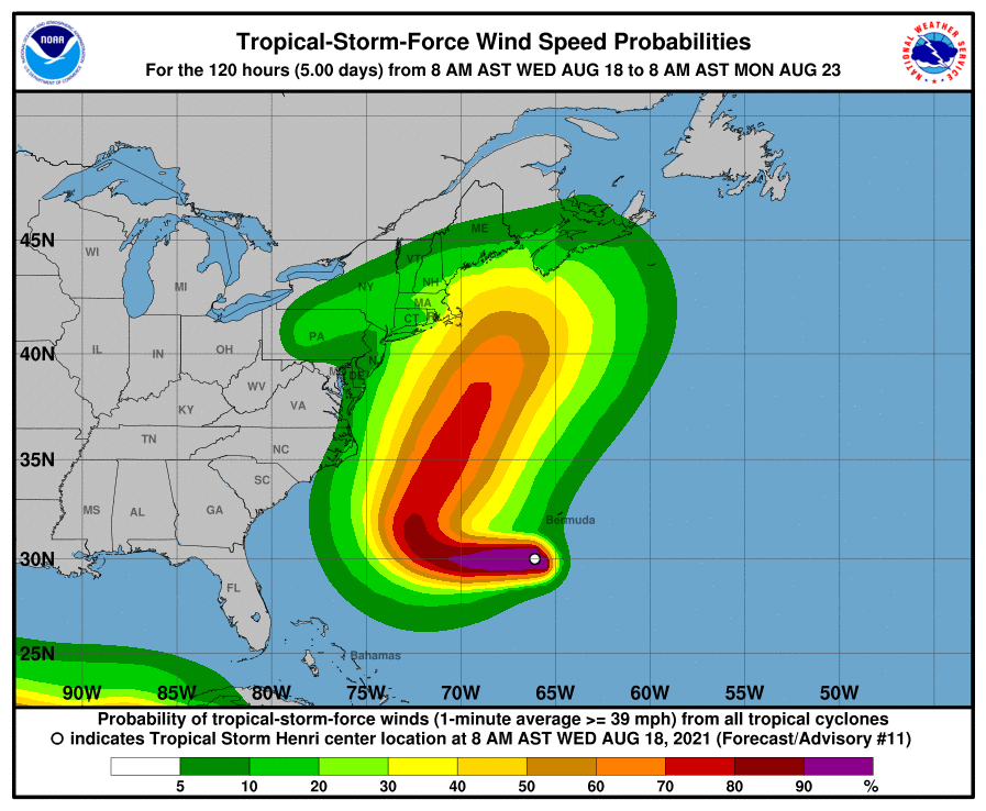
Computer forecast model data continues to shift the future track of Henri closer and closer to the coast, with some guidance suggesting a landfalling hurricane on Long Island. Additional shifts could bring the storm closer to North Carolina, Virginia, Maryland, Delaware, and New Jersey; it is also possible that other shifts may push it into the Canadian Maritimes or more east. It is still too soon to say with certainty where this storm will go at this time.


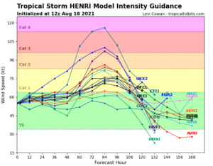
While large questions loom over the future track of Henri, the same is true of its intensity forecast. The National Hurricane Center expects Henri to intensify into a Category 1 hurricane by this weekend. However, there are five major forecast models that are suggesting Henri will become a 2 or greater category, with one suggesting it growing to a category 4 hurricane by the weekend. Category 4 is the second-highest hurricane classification category on the Saffir–Simpson Hurricane Scale, and storms that are of this intensity maintain maximum sustained winds of 130–156 mph.