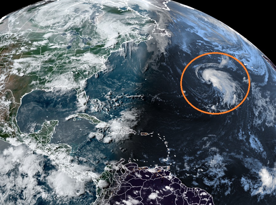
The National Hurricane Center is monitoring a new system in the central North Atlantic Ocean that is likely to develop into a storm soon.
According to meteorologists with the National Hurricane Center, an area of low pressure located about 1,000 miles west-southwest of the Azores has become more organized today, with increased thunderstorm activity near a better-defined low-level center, along with gale-force winds. Although the environment is only marginally conducive, this system will likely become a subtropical storm during the next day or so as it meanders over the central Atlantic. By the weekend, the low should turn northward, bringing the system over cooler waters and potentially limiting further development. For now, the National Hurricane Center believes there is a 70% chance that a subtropical storm will form here over the next 48 hours.
Subtropical cyclones typically are associated with upper-level lows and have colder temperatures aloft, whereas tropical cyclones are completely warm-core and upper-level high-pressure systems overhead help facilitate their intensification. Subtropical cyclones originate over tropical or subtropical waters and have a closed circulation about a well-defined center. Because of their structure, subtropical cyclones have their maximum winds relatively far from the center and have a less symmetric wind field and distribution of convection compared to tropical cyclones, where the most intense winds are near the center and are usually more symmetrical.
Both subtropical and tropical cyclones in the Atlantic are named by the National Hurricane Center. If this disturbance in the Atlantic becomes the next named system this hurricane season, it will be given the name “Don.”