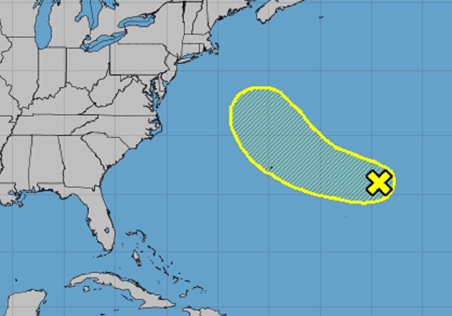
The National Hurricane Center in Miami, Florida is tracking a weather system that is well east of the island of Bermuda over the central Atlantic. In their latest Tropical Outlook, the National Hurricane Center says there is a slight chance this disturbance could grow into a tropical cyclone as it moves west and northwest towards Bermuda and the Mid Atlantic and New England coasts.
According to the National Hurricane Center, a trough of low pressure located well to the east of Bermuda continues to produce disorganized shower and thunderstorm activity. Environmental conditions are not expected to be particularly conducive, and any subtropical or tropical development of the system should be slow to occur while it moves generally west-northwestward at 15 to 20 mph across the subtropical Atlantic.
By the middle part of this week, though, the National Hurricane Center says further development appears unlikely as the system turns northward over the cooler waters of the northwestern Atlantic and encounters stronger upper-level winds.
For now, the National Hurricane Center believes there’s only a 10% chance that this system will become a tropical cyclone over the next 5 days.
The 2022 Atlantic Hurricane Season runs another 5 more weeks through to the end of November. Outside of this area being tracked in the central Atlantic, the National Hurricane Center expects no tropical cyclones throughout the basin for at least the next five days.