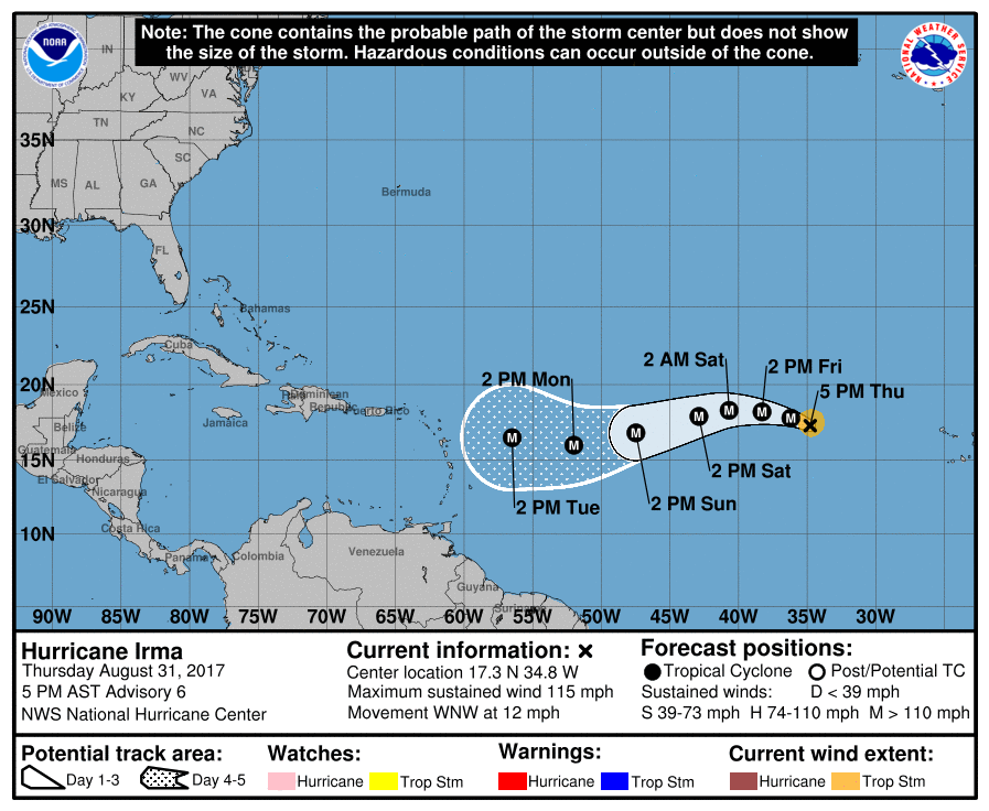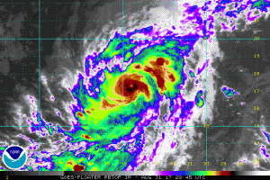
Hurricane Irma has gone through rapid intensification today, evolving to a Major Category 3 hurricane with maximum sustained winds of 100mph less than a day after it was first declared a Tropical Storm. According to the National Hurricane Center (NHC), Irma has become an impressive hurricane with intense eyewall convection surrounding a small eye. “This is a remarkable 50-kt increase from yesterday at this time,” the National Hurricane Center said in their latest advisory on Irma.

Microwave and satellite data suggest that an eyewall replacement cycle could be starting. This isn’t surprising given how small the eye is, and will probably be the first of many eyewall cycles for this hurricane. Overall, Irma should be in a low-shear environment for several days, with the intensity controlled by eyewall cycles and the moderately warm ocean waters along the path. The NHC forecast intensity is leveled off for the next 2 days. After the weekend, Irma should be moving over much warmer water, with water temperatures forecast to be 29C at the end of the period. All indications are for Irma to be strengthening by the end of the forecast period, with the NHC prediction adjusted slightly upward from the previous one, in line with the extremely low pressures forecast by the global and regional hurricane models at that time.
Irma continues moving west-northwestward. According to the NHC, there has been no change to the forecast philosophy, with the hurricane likely to turn westward and west-southwestward over the next few days due to a building ridge over the central Atlantic. At long range, however, model guidance is not in good agreement on the strength of the ridge, resulting in some significant north-south differences in the global models. There is variability within individual models too; the American GFS model, as an example, has offered up multiple landfall possibilities for the US east coast ranging from the Mid Atlantic to Maine, and locations in between, in addition to out-to-see track possibilities.
It will likely take many more days until computer guidance has a better handle on where this storm will go in the future and what impacts, direct or indirect, Irma may have on the United States.
The traditional peak of the Atlantic Hurricane Season is on/around September 10; as such, we expect more tropical activity to pop-up in the basin over the coming days and weeks. Residents along the entire US East and Gulf coast, as well as Hawaii, should make sure they have a Hurricane Action Plan in place.
Experts believe this Atlantic Hurricane Season, which runs through to the end of November, will be a busy one. Dr. Phil Klotzbach and the experts at Colorado State University updated their seasonal outlook again on July 5, showing a much more active than normal season expected. The National Oceanic and Atmospheric Administration (NOAA) also released their own forecast which shows this hurricane season to be likely more active than others.