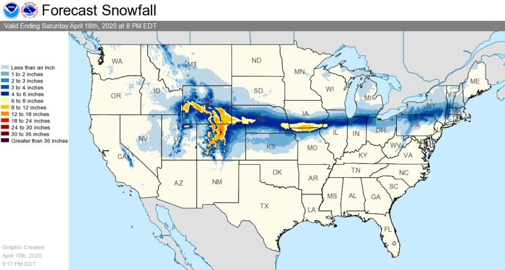
Heavy snow will continue to impact the central Rockies Thursday, including Denver before streaking across the Central Plains to Upstate New York through Friday. Up to 2 feet of snow may fall over portions of Colorado while places like Chicago could see a few inches of fresh snow. Even New England will see snow, with the New York / Pennsylvania border area seeing 3-6″ of snow.
With plenty of cold air to work with, a deep upper-level trough over the Rockies will move east, dropping substantial snow. Low pressure over the Central High Plains will then slowly move into the Mid-Mississippi Valley by Friday morning and to the Northern Mid-Atlantic Coast by Saturday. As this system exits into the Central Plains from the Rockies, a band of light to moderate wet snow is possible from Nebraska to parts of the Northeast by Friday evening and into parts of New England overnight Friday. The highest snow amounts east of the Rockies are currently expected to be across Southern Iowa, where 8-12″+ of snow could fall. By Friday night a mix of rain and snow is forecast to enter the Mid-Atlantic and Northeast. While snow could mix in with rain showers in Philadelphia and New York, accumulating snow will stay north and west of those cities.

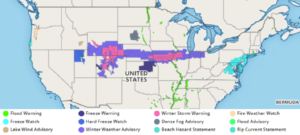
Temperatures across much of the Northern and Central Rockies to parts of Middle Mississippi Valley will be 10 to 30 degrees below average. Beyond Winter Storm Warnings and Winter Weather Advisories for the snow, the National Weather Service has issued Freeze Warnings across portions of Kansas while Freeze Watches are up for portions of New York, New Jersey, Pennsylvania, Delaware, Maryland, and Virginia.