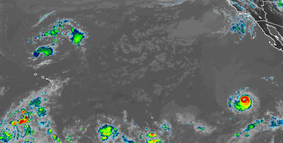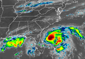
Tropical cyclones in both the Pacific and Atlantic hurricane basins are keeping meteorologists busy today. In the Pacific, Major Hurricane Kiko is heading west as a major Category 4 hurricane with maximum sustained winds of 130mph. In the Atlantic, off the U.S. Southeast coast, Tropical Humberto is looking much more formidable on satellite imagery today. It is forecast to become a hurricane later tonight.
As of the last advisory from the National Hurricane Center, the center of Hurricane Kiko was located near latitude 17.2 North, longitude 121.9 West. Kiko is moving toward the west near 7 mph and a slow westward track is forecast during the next few days. While Kiko is a category 4 hurricane on the Saffir-Simpson Hurricane Wind Scale, some slow weakening is forecast during the next 3 days. While strong, Kiko is a small tropical cyclone. Hurricane-force winds extend outward only up to 25 miles from the center and tropical-storm-force winds extend outward up to 70 miles. It is too soon to know whether Kiko will bring any indirect or direct impacts to Hawaii next week and beyond.

Closer to the U.S. coast is the center of Tropical Storm Humberto, which was located by reconnaissance aircraft and NOAA Doppler radars near latitude 29.3 North, longitude 78.0 West a short time ago. Humberto is moving toward the north near 6 mph, and this motion is expected to continue through tonight. A sharp turn to the northeast is forecast to occur Monday morning or afternoon, followed by a motion toward the northeast and east-northeast on Tuesday and Wednesday. On the forecast track, the center of Humberto will continue to move away from the Bahamas and remain well offshore of the southeastern coast of the United States through Wednesday.
Data from an Air Force Reserve reconnaissance aircraft indicate that maximum sustained winds have increased to near 70 mph with higher gusts inside Humberto, making it just a few miles per hour short of hurricane status. Further strengthening is expected during the next few days, and Humberto is expected to become a hurricane later tonight. Tropical-storm-force winds extend outward up to 150 miles from the center. The minimum central pressure based on aircraft data is estimated
to be 989 mb or 29.21 inches of mercury.
While direct impacts aren’t expected at this time by Humberto, indirect impacts in the form of rough surf are. Swells generated by Humberto will affect the northwestern Bahamas, and the southeastern coast of the United States from east-central Florida to North Carolina during the next few days. These swells could cause life-threatening surf and rip current conditions. With many beaches unguarded now that Labor Day has passed, beaches could be that much more dangerous without trained professionals keeping the water safe.
Elsewhere in the tropics, no other storm poses a threat to the United States.