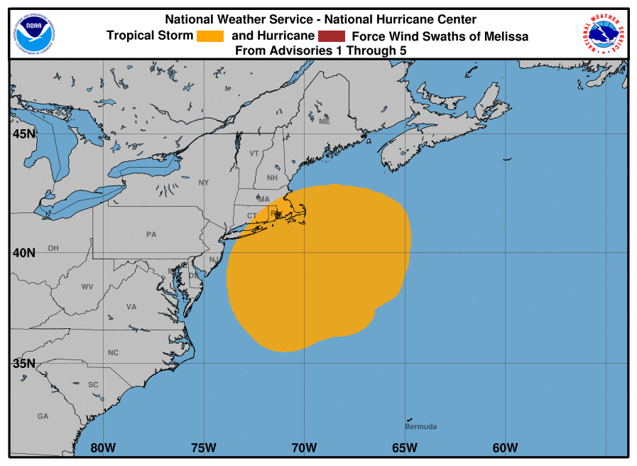
Subtropical storm is being pushed out to sea by a cold front that’s responsible for bringing fair, dry weather back to the Mid Atlantic and New England. While the storm moves away, there will still be coastal flood threats today along the northeast coast, especially at times of high tides. By tomorrow, that coastal flood threat should be over.

In the last advisory from the National Hurricane Center, the center of Subtropical Storm Melissa was located near latitude 38.1 North, longitude 67.0 West. Melissa is moving toward the east-northeast near 10 mph. A gradual increase in forward speed is expected tonight through Monday. Maximum sustained winds are near 50 mph with higher gusts. The National Hurricane Center expects slow weakening today with a faster rate of weakening tonight. Based on the official forecast, Melissa should become a post-tropical remnant low by Sunday.
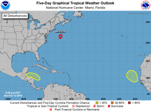
Elsewhere in the Atlantic, there are no other named storms nor are any expected anytime soon. The National Hurricane Center is tracking two other areas of disturbed weather: one near Central America, the other just west of the coast of Africa. Neither has a high chance of developing into a tropical cyclone over the next 5 days.