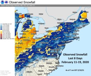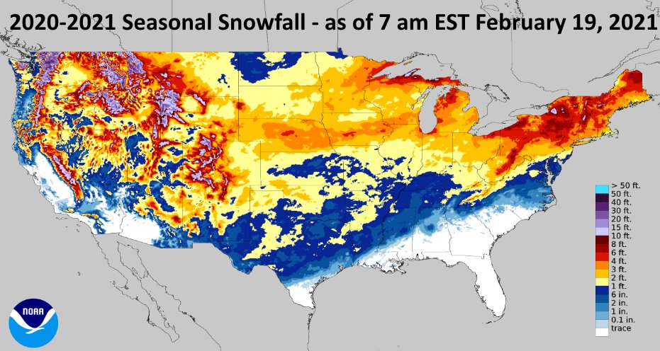
While portions of the Mid Atlantic are dealing with lingering light snow and ice today from a system that brought more than 6″ of snow to portions of Virginia, West Virginia, and Maryland and more than 9″ of snow to portions of Pennsylvania and New Jersey yesterday, computer forecast models are already hinting that another significant winter storm could visit portions of the eastern U.S. again late next week.
While meteorologists have many tools at their disposal to create weather forecasts, two primary global forecast models they do use are the ECMWF from Europe and the GFS from the United States. While the models share a lot of the same initial data, they differ with how they digest that data and compute possible outcomes. One is better than the other in some scenarios, while the opposite is true in others. No model is “right” all the time.

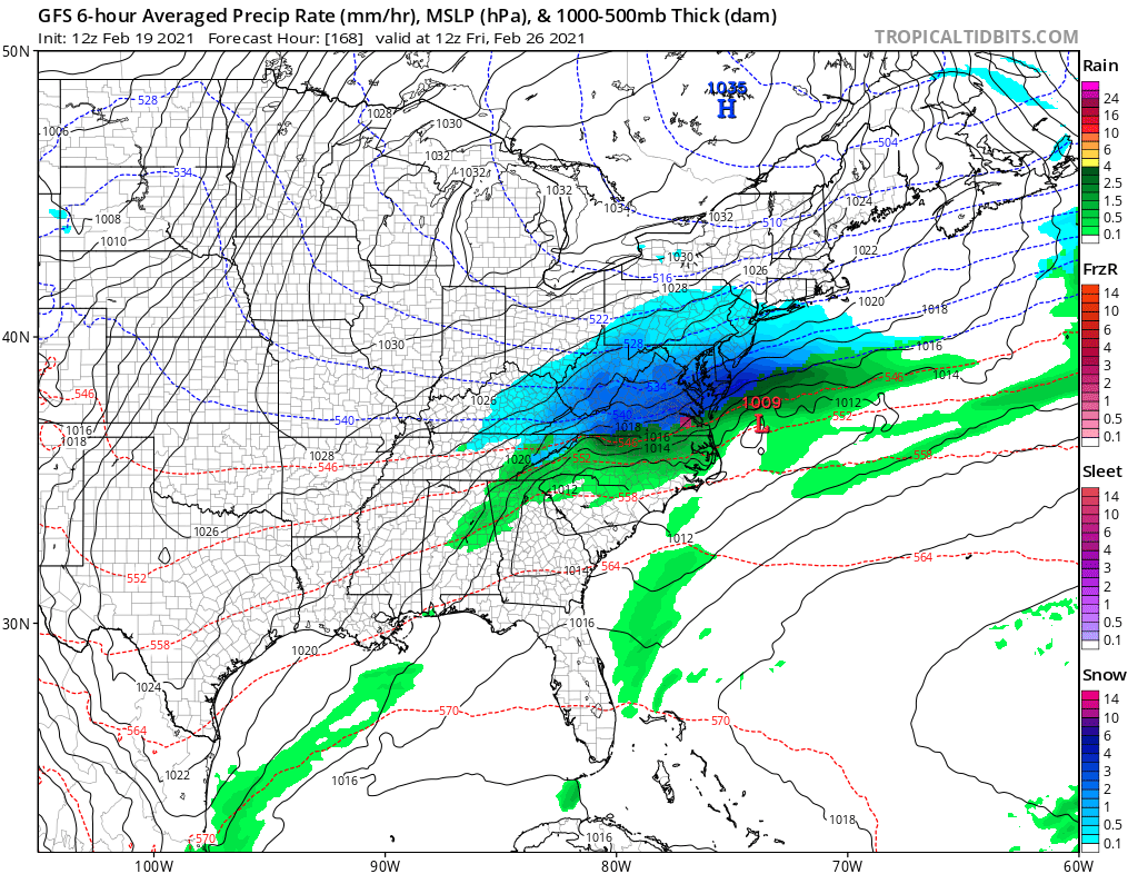
The latest runs from both of these global forecast models show a system moving into the eastern United States later next week, with the American GFS model currently depicting the more significant systems of the two. It shows a system developing near the Texas/Louisiana border on Thursday afternoon. Unlike the potent storm that brought snow and ice all the way south to the Gulf Coast, this storm will be in a milder air mass in the south, producing mainly rain across Texas, Louisiana, and southern Arkansas. By Friday morning, the GFS brings the storm across the Carolinas to just off the Virginia/North Carolina coast. If this particular model run were to verify, because the system would be much more south than previous systems, the rain/snow line would set-up well south too.
The GFS model depicts accumulating snow from just north of the Virginia/North Carolina border up to the Pennsylvania/New York Border and as far west as western Kentucky. It has the quick-moving storm out to sea by Friday evening, bringing fair, dry, and colder air into the area in time for the following weekend. If this model was to be right, the storm would drop a 6-12″ band of snow across much of Virginia, Maryland, and Delaware, with 3-6″ amounts to the north in southeastern Pennsylvania and central New Jersey, including the Philadelphia metro area.

The ECMWF global forecast model reflects a different storm path. Unlike the GFS which slides the system east out to sea, the afternoon run of the European model suggests the storm will move up the coastal plain, ending up off the coast of Maine by Saturday night. The ECMWF also shows a much weaker system starved for moisture. While it brings accumulating snow to portions of Virginia and Maryland, it doesn’t put down nearly as much as the American forecast model does.
It is too soon to say whether either model is right. And it is too soon to say if one is on the right path versus the other. But one thing is clear: winter weather is unlikely to go away anytime soon in the United States. Spring doesn’t officially arrive until March 19.