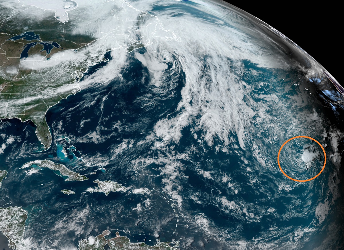
The National Hurricane Center (NHC) is monitoring a system in the far eastern Atlantic Ocean for potential tropical cyclone development. An area of low pressure located about 900 miles northwest of the Cabo Verde Islands has been producing a small but persistent area of showers and thunderstorms to the east of its center since this morning. However, meteorologists with the NHC say the low is forecast to move southwestward at 10-15 mph into an area of stronger upper-level winds tonight and tomorrow, and additional development is not expected.
Due to those forecast unfavorable upper-level winds, the NHC says there is only a 10% chance that a tropical cyclone will form here over the next 48 hours.
The Atlantic Hurricane Season runs from June 1 through to November 30, but systems do develop outside of the season from time to time. The National Hurricane Center issues regularly scheduled Tropical Weather Outlooks for the season starting on May 15 but may issue special outlooks if necessary during the off-season.

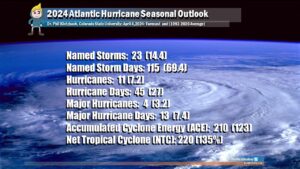
According to the scientists that worked on the report at CSU, when waters in the eastern and central tropical and subtropical Atlantic are much warmer than normal in the spring, this tends to force a weaker weaker subtropical high and associated weaker winds blowing across the tropical Atlantic. Because of this, there will probably be a continuation of well above-average water temperatures in the tropical Atlantic for the peak of the 2024 Atlantic hurricane season which arrives in early/mid September. A very warm Atlantic favors an above-average season, since a hurricane’s fuel source is warm ocean water. In addition, a warm Atlantic leads to lower atmospheric pressure and a more unstable atmosphere. Both of these conditions favor hurricanes.