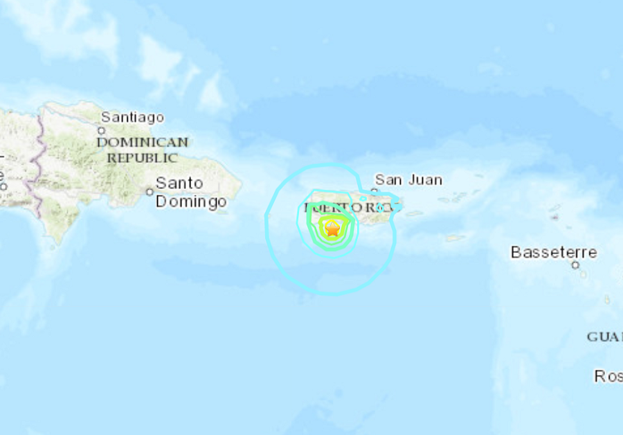
Another in a series of strong earthquakes has struck near the south coast of Puerto Rico. A magnitude 6.0 earthquake shook Puerto Rico this morning, causing further damage along the island’s southern coast where previous recent quakes have toppled buildings like homes and schools. The U.S. Geological Survey said the quake hit 8 miles south of Indios at a shallow depth of 6 miles; it is the strongest quake to hit the area since Tuesday’s 6.4. The Pacific Tsunami Warning Center issued a statement saying an earthquake of this magnitude in this location is unlikely to generate a basin-wide tsunami for the rest of the Caribbean and the U.S. East and Gulf Coasts; however, they say a local tsunami is possible near the epicenter.
Since December 28, there have been nearly 2,000 earthquakes in Puerto Rico, 60 of which were felt. More than 500, however, have been of magnitude 2 or higher.
In Puerto Rico, the North American and Caribbean tectonic plates converge. To the north of Puerto Rico, the North American plate is subducting beneath the Caribbean plate along the Puerto Rico trench. Subduction occurs when an oceanic plate runs into a continental plate and slides beneath it; this movement is responsible for earthquake activity; it can also be responsible for tsunami and volcanic activity elsewhere in the Caribbean.
After Tuesday’s 6.4, the USGS has said there’s a 3% chance of an earthquake as strong or stronger than it possible in the coming days. USGS has yet to release a revised forecast since this morning’s quake.