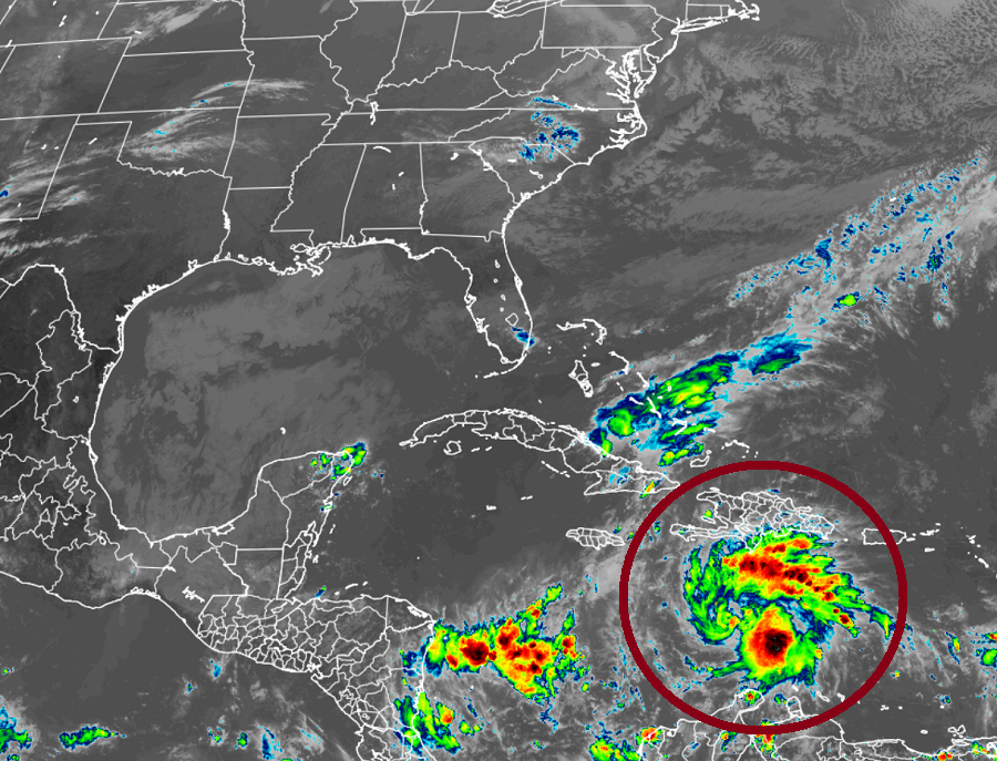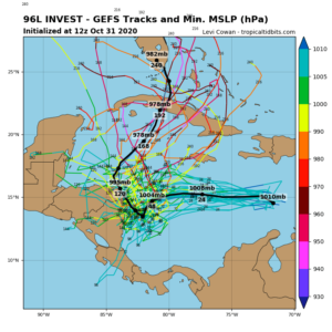
In the latest Tropical Outlook from the National Hurricane Center (NHC), they say there is now a 100% chance that a tropical cyclone will form in the Caribbean Sea within the next 48 hours. Models are split where this system will travel over time; some suggest it’ll become a robust tropical storm or hurricane while others keep it as a moderate tropical storm or less. Some suggest the storm will move towards Florida in the upcoming week, while others bring the system into Central America. Either way, this system is likely to break records: there has never been a Tropical Storm or Hurricane Eta before. And when it forms, it would tie the Atlantic Hurricane Season of 2020 with 2005’s record-breaking year for most tropical cyclones in a single year.

The area of concern is a vigorous tropical wave is located over the central Caribbean Sea. Today, it is producing organized cloudiness and thunderstorms; the National Hurricane Center says that it appears a tropical depression is forming here. Based on those observations, the National Hurricane Center believes there is a 100% chance of tropical cyclone formation there.
The National Hurricane Center says if this afternoon’s development trend continues, advisories will likely be initiated on this system this afternoon or evening while it moves generally Even if doesn’t develop into a tropical depression or storm soon, interests in Jamaica, Honduras, and Nicaragua should monitor the progress of this system: heavy rainfall will fall with or without cyclone formation and dangerous flooding could occur from it.
Hurricane season ends on November 30 in the Atlantic. To date, 2020 has produced 27 named storms, 1 shy of tying record-breaking 2005 which had 28 nameable storms. In the post-season analysis, the National Hurricane Center identified an additional subtropical storm that formed near the Canary Islands in 2005. Had that storm been named, there would have been an Eta at the end of 2005 too.