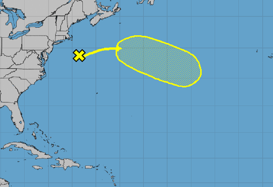
The National Hurricane Center continues to monitor the powerful nor’easter impacting the northeast the last few days for signs of possible transition into a subtropical or tropical storm; it such a transition were to occur, it would be given the name “Wanda.”
According to the National Weather Service office responsible for the Boston metro area, isallobars are showing strong rising pressures over the Cape and Islands and falling pressures out to sea, indicative of the storm system finally pushing east. Morning soundings showed a saturated layer in the atmosphere toward the coast, and somewhat drier in that layer in inland areas. Radar shows rain moving ashore from the northeast, mainly affecting areas from the Worcester Hills east. It’s clear the storm is finally moving east.
While the storm responsible for flood and wind damage from New Jersey to Massachusetts heads east,the National Hurricane Center is keeping an eye on it. Right now the storm in question is a deep, non-tropical low pressure system with storm-force winds centered more than 200 miles south-southeast of Cape Cod, Massachusetts. As the storm moves eastward, away from the United States, the low could acquire some subtropical characteristics while it moves eastward or southeastward over the warmer waters of the central Atlantic through this weekend. However, the National Hurricane Center says the odds of formation remain low: less than 10% over the next 48 hours and only 30% over the next 5 days.
In the event it did become a named cyclone, it would be called Wanda. Wanda is the last available name to use for the 2021 Atlantic Hurricane Season which runs another month through to the end of November.