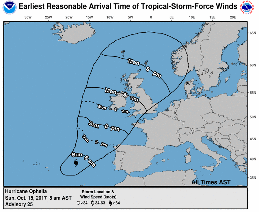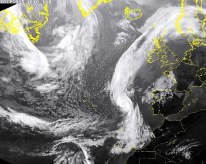
Hurricane Ophelia has begun a transformation into an extratropical cyclone; even so, it is forecast to impact Ireland head-on with Category 2 hurricane force winds, life-threatening storm surge, and extremely heavy rain. Strong winds and heavy rain will begin battering Ireland and the United Kingdom today, with the worst arriving tomorrow. The center of circulation of Ophelia will make a direct strike on Ireland’s southwest coast at roughly 2am Monday morning. Ophelia will increase in size as it moves north and east, spreading heavy rain and damaging winds across a broad area. Met Eireann, the official weather agency for Ireland, has raised warnings there, advising people that Category 2 hurricane strength winds are expected near the point of landfall.

In addition to destructive winds, heavy rains will be a significant problem across Ireland and the United Kingdom. 3-4″ of rain (100mm) is expected across Ireland and the northern half of the United Kingdom. Heavy showers are also possible across Wales and southern England including the city of London. Some downpours will create isolated flash flooding conditions.
The National Hurricane Center in the United States has been in multi-agency conference calls with Met Eireann and the Met Office, the United Kingdom’s official weather agency. Together, they’ve shared expertise in tracking this system so that proper warnings are in place ahead of the powerful storm.
Hurricane Ophelia became the most powerful hurricane ever recorded in the eastern Atlantic yesterday. Hurricane Ophelia broke earlier records as the strongest, most east storm this late in the Atlantic hurricane season.