Some will say the weather pattern in the eastern United States has been broken since the end of November: it seems that an endless of wet weather storms have pushed through, not only breaking annual totals at the end of December, but kicking off the new year on a wet note too. While rain has been abundant, snow hasn’t; places like Boston, MA have barely seen any snow this season while snow in New York City and Philadelphia has been marginal. It appears a pattern change may be coming at the end of the month; both the European and American global forecast models suggest so. But before then, a messy but active weather pattern will set-up along the east coast, bringing heavy inland snows and soaking coastal rains. Between the snow and rain could be some accumulating freezing rain.
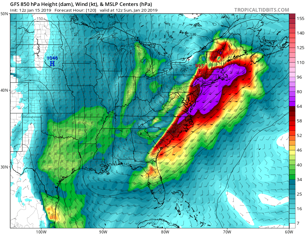
The upcoming weekend will be a busy one, weather-wise, as the first of many areas of low pressure move through. A light precipitation event will move through the northeast on Friday setting the stage for more substantial storms. While the Friday storm exits on Saturday, the next first substantial storm arrives on Sunday. It is still too soon to tell who will get what kind of precipitation from this system, but it is likely that inland New England will see the heaviest snows while the coastal plain will see plain rain. Boston will be near the dividing line of rain/snow, but further south along the coast, it appears most precipitation will fall as rain. There are concerns of icing near the fall line in the Mid Atlantic, but the threat of a major ice storm seems to be fading with time.
As more atmospheric data is sampled and explored, meteorologists will be able to pin point precipitation types and amounts by as soon as Wednesday afternoon.
Beyond the weekend storm, another one much like it should swing through the eastern U.S. by the middle of next week. And perhaps by the following weekend, a colder and snowier weather pattern will take-over for portions of the Mid Atlantic and Northeast.
