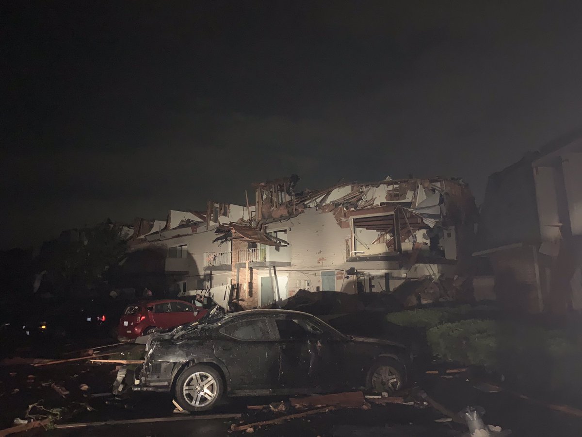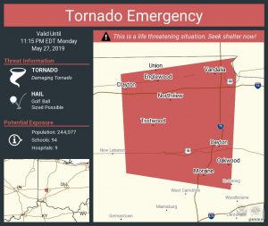
While the full extent of the catastrophic destruction in and around Dayton, Ohio from a massive, violent tornado won’t be known until daybreak, many are curious about the warnings that were issued prior to the storm’s impact. While numerous Tornado Warnings were up in Ohio, two Tornado Emergencies were also issued with very dire language. More serious than a Tornado Warning, a Tornado Emergency is issued when a violent tornado is confirmed on the ground and is at least an EF2 on the Enhanced Fujita scale. A standard Tornado Warning is issued whenever RADAR or a trained observer indicates a tornado present in the area.

The scale that rates the intensity of tornadoes is known as the Enhanced Fujita Scale; it classifies tornadoes based on their wind speeds. EF-0 tornadoes have wind speeds 65 to 85 mph; 1 has winds 86 to 110mph; 2 has winds 111-135mph; 3 has winds 136-165mph; 4 has winds 166-200mph; 5 has winds in excess of 200mph.
While meteorologists with the National Weather Service will examine the destruction left behind in Ohio to confirm the intensity, path length, and width of the tornado(s) there, it is clear from early damage pictures that the tornado that struck the region was at least an EF2 if not much greater, justifying the Tornado Emergency that was in effect.
The National Weather Service began using the phrase “Tornado Emergency” in 1999. The back-to-back Tornado Emergencies issued last night were only the second time they were ever issued in the state of Ohio. The last time and only other time it was issued in Ohio was in 2016.
If a Tornado Warning or Tornado Emergency is ever issued for your area, the National Weather Service urges that you:
- Go to the basement or take shelter in a small interior ground floor room such as a bathroom, closet or hallway.
- If you have no basement, protect yourself by taking shelter under a heavy table or desk.
- In all cases, stay away from windows, outside walls and doors.