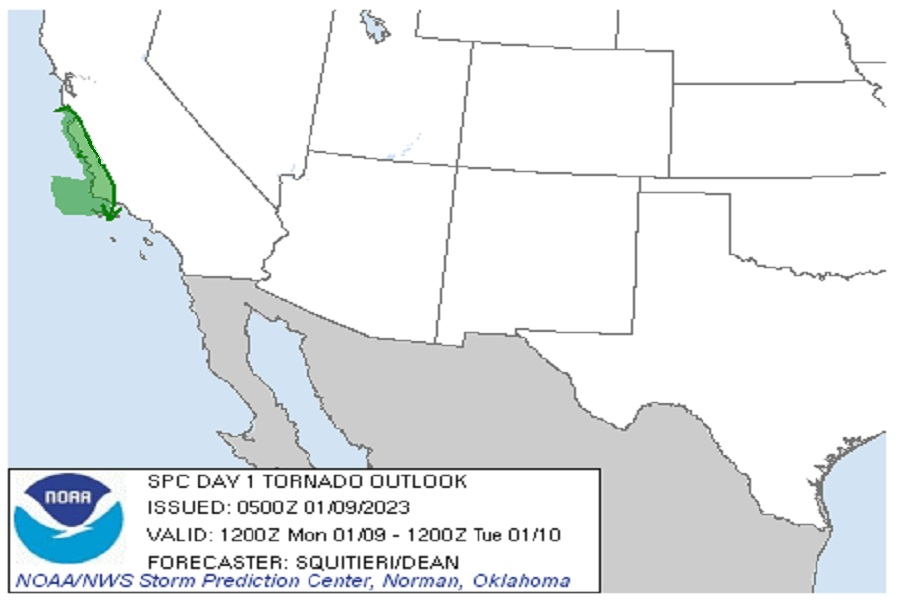
A rare tornado threat exists today along the central California Coast as yet another severe atmospheric river event unfolds there. The National Weather Service’s Storm Prediction Center in Norman, Oklahoma is tracking the potential for severe thunderstorms and isolated tornadoes from Santa Cruz and Monterey down to Goleta and Santa Barbara.
According to the Storm Prediction Center (SPC), a series of mid-level impulses will traverse California today. The first upper impulse will overspread California during the morning into afternoon hours, accompanied by scant buoyancy and a risk for general thunderstorms. Later in the day, a second, more potent mid-level impulse will approach the California coastline with relatively more buoyancy and enough lift and shear to promote potentially strong thunderstorm development, and an instance of severe weather cannot be ruled out.
With a strong low-level and deep-layer shear in place, the SPC warns there could be enough atmospheric ingredients available to support the threat of a damaging wind gust or perhaps a brief tornado.
It might seem crazy, but California actually averages 11 tornadoes per year! 🌪️
They typically occur in the spring and fall seasons across the northern half of the Central Valley.#CAwx #NorCal pic.twitter.com/qmewI4q48i
— NWS Sacramento (@NWSSacramento) November 9, 2022
California does get tornadoes from time to time, but they rarely impact this part of the state and rarely touch down at this time of the year. On average, California sees 11 tornadoes per year; most occur in the spring and fall seasons and most impact the northern half of the Central Valley.
The threat of severe thunderstorms and tornadoes should diminish by tonight, but more heavy rain is likely in the coming days as atmospheric river events continue to impact the state.