During the 10pm CT advisory update from the National Hurricane Center (NHC), Hurricane Sally was creeping to the north-northeast at 2 mph, inching its way closer to the Gulf coast as a category 1 hurricane with 85 mph winds. But since then, Sally has undergone a surprise intensification cycle which brought it to category 2 status at 1am CT. Worse, it appears to continue to strengthen.

New data from an Air Force Reserve reconnaissance aircraft investigating the storm and the Mobile, Alabama Doppler weather RADAR indicate that Sally’s maximum sustained winds have increased to 105 mph, up from the 100 mph they were clocked at midnight, Central Time.
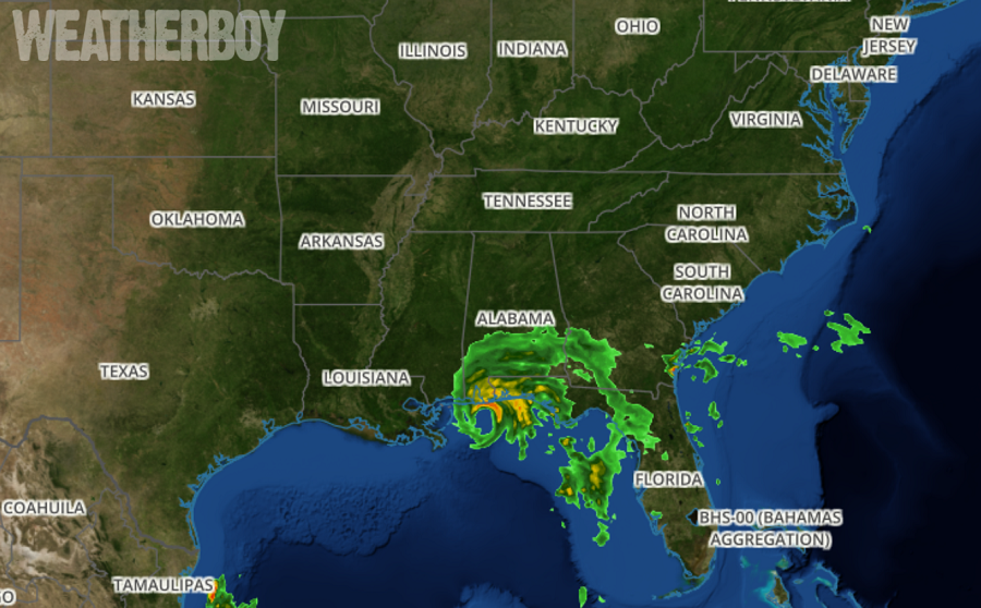
In a special update from the NHC, they located the center of Hurricane Sally at 29.9N, 87.8W, roughly 60 miles south-southeast of Mobile, Alabama and 55 miles southwest of Pensacola, Florida. The estimated minimum central pressure is down to 968 mb or 28.58 inches.
With maximum sustained winds now up to 105 mph, Hurricane Sally is now a mid-range Category 2 hurricane. Should winds increase just 6 mph more, it would be re-classified as a Category 3 hurricane.
While higher maximum sustained winds could lead to a more significant storm surge and more wind damage, the major threat of epic flooding remains. Historic, life-threatening flash flooding due to rainfall is likely through Wednesday along and just inland of the coast from the Florida Panhandle west of the Apalachicola River to the Alabama/Mississippi border. Widespread moderate to major river flooding is forecast across the Florida Panhandle and southern Alabama. Significant flash and urban flooding, as well as widespread minor to moderate river flooding, is likely across inland portions of Mississippi and Alabama, and into Georgia and the western Carolinas this week. Near the area of landfall, storm total precipitation could reach up to 30″ in some areas; a widespread 1.5-2.5 feet are possible elsewhere.
