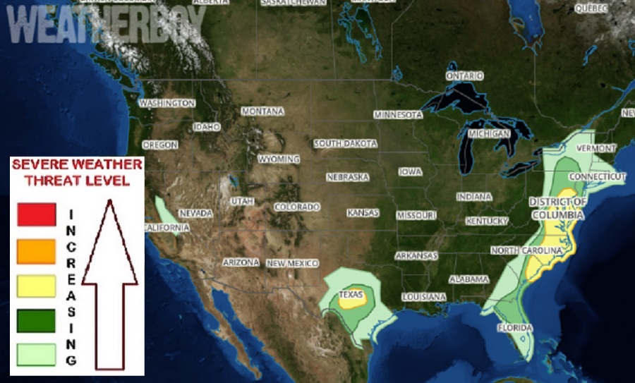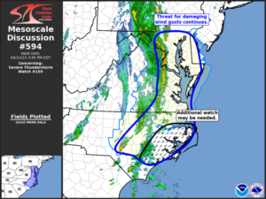
According to the National Weather Service’s Storm Prediction Center (SPC), a threat of severe thunderstorms including damaging winds persists this afternoon and evening across portions of the Mid Atlantic. According to the SPC, the greatest risk of severe weather today is across southern New Jersey and Pennsylvania, eastern Maryland, Virginia, North Carolina, and South Carolina, and all of Delaware. While there’s a risk of an isolated tornado or two in this region, there’s a greater threat of damaging winds from storms here.
According to the SPC’s latest Convective Outlook update, the current water vapor loop from the GOES-East weather satellite shows a strong upper trough becoming negatively tilted over the Ohio Valley, with a potent mid-level jet stream nosing into Virginia. A persistent line of thunderstorms is tracking eastward into central Virginia and North Carolina and is expected to intensify soon. While thermodynamics ahead of the storms are rather weak, given the strength of the winds aloft and approaching upper forcing, the potential for damaging wind gusts along the line is expected to increase. The SPC says that these storms will track across eastern Maryland and Delaware before moving offshore by late afternoon.

The weather in the Carolinas could be more severe than what’s forecast to unfold north up the coast. With the primary cold front extending across western South Carolina and strong heating occurring ahead of the front, conditions will be ripe for severe and intensifying thunderstorms over South Carolina and parts of North Carolina later this afternoon. A combination of multicell and supercell structures are possible. Winds aloft are slightly weaker here than farther north, but are still sufficient for a risk of hail and gusty/damaging winds in the stronger storms through the early evening.