
A significant storm is forecast to bring heavy rain throughout Hawaii in the coming days, with some of that precipitation falling as snow over the higher elevations of the Big Island of Hawaii. An approaching front will produce increasing southerly winds on Tuesday, with precipitation moving in over western portions of the state Tuesday night. Clouds and precipitation is then forecast to move down much of the island chain Wednesday and Wednesday night, before stalling out and weakening near the Big Island of Hawaii on Thursday. A period of heavy rainfall and thunderstorms will likely accompany the front as it moves through, with that precipitation falling as snow on Hawaii Island’s tall volcanic mountains, Mauna Kea and Mauna Loa.
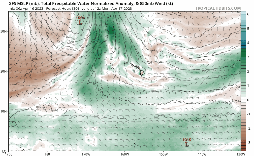
he front will approach Monday night and Tuesday, allowing southerly flow to gradually develop and increase from west to east across the islands. Fairly dry conditions are expected overall, although a few showers are expected to develop in the increasing southerly flow and move into the islands from the south and southeast. A few interior and mauka showers will be possible Tuesday afternoon as well. Kauai will likely have the highest chance for seeing some heavier showers and perhaps a thunderstorm late Tuesday afternoon as the front and associated deeper moisture edges closer.
According to the National Weather Service office in Honolulu on the island of Oahu, numerous to widespread showers and scattered thunderstorms can be expected as the front sweeps southeastward through the state during the upcoming week. Locally heavy rainfall will be possible as well, along with the potential for flood conditions. In addition, breezy southerly winds are expected to develop along and ahead of the front; gusty downslope winds of 30 to 40 mph will be possible to the north and east of the terrain from Kauai to Maui.
After passing through Kauai, Oahu, and Maui forcing tied to the front will shift over to the Big Island by Thursday, leaving a weakening, lingering front there through at least Thursday night or Friday morning. As such, rain chances will remain highest near the front over the eastern end of the state, while drier conditions overspread the western islands. The front appears to weaken into a trough on Friday with the lingering moisture then shifting westward as the trades attempt to briefly return.
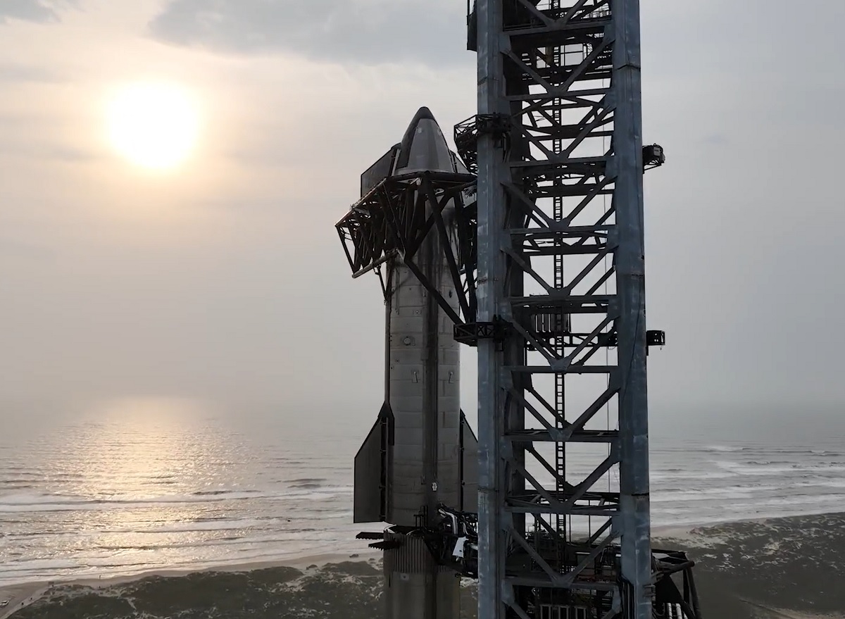
The weather around Hawaii is especially critical this week: SpaceX is planning to test their giant Starship rocket on an orbital test flight from Texas to an area in the Pacific Ocean just north of Hawaii. Stormy conditions in waters around Hawaii could result in delays to the launch which would happen 90 minutes before the expected touch-down near the Aloha State. As of press time, SpaceX was planning to launch and land Starship during the morning hours of Monday, April 17, which would occur before this frontal system approaches the state. If the launch time is on-time Monday, there shouldn’t be weather issues near Hawaii on Monday morning.
