While portions of the eastern United States continue to dig out of a storm that dumped more than 2 feet of snow in some locations, eyes are on the next major storm system that is forecast to impact much of the country in the coming days and especially the eastern US next weekend.
An active weather pattern will remain in place across the Pacific Northwest over the next few days, with a relatively strong cold front approaching on Tuesday, spreading heavy rain and mountain snows inland. Areas of heavy snow associated with this system may also spread into the northern Great Basin and northern Rockies late Tuesday into Wednesday. The higher elevations of the northern Cascades may see snowfall accumulations of 2 or more feet through Wednesday, with 1-2 feet possible for portions of the northern Rockies. After a brief lull across the Pacific Northwest, another frontal system will approach late Wednesday, bringing another round of potentially heavy rain and mountain snow to the region.
The contiguous U.S. will be largely cut off from any significant incursions of Polar and Arctic air during the short range, and high
temperatures on Tuesday and Wednesday will range from 10 to 20 degrees above average across much of the central U.S. The Eastern Seaboard will remain chilly for now, with highs 5 to 10 degrees below average, but temperatures will slowly moderate through mid-week.
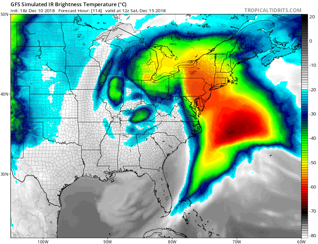
By the end of the week, the weather system moving across the country will intensify along the eastern part of the country. This will set the stage for mild air to surge north into New England. The stage will also set for the possibility of flooding rains and severe storms, even into the northern Mid Atlantic.
Unlike the last storm that brought snow far south, this next system could bring severe weather far north. On Friday night, severe weather could occur in the southeast, especially in Florida and Georgia. This severe weather threat will move into the Carolinas and Virginia by Saturday morning, and into the I-95 corridor between Washington, DC and New York City Saturday afternoon. Strong winds, gusty thunderstorms, and the chance for hail could be possible as these storms blossom, especially in the southeast.
Rain will be heavy at times along much of the eastern US as this system moves through next weekend. Fresh heavy rainfall could be problematic as it washes-away fresh snow cover, leading to potential flooding problems in many places across the East.
