A potent winter storm brought heavy rain, strong winds, and coastal flood threats to New Jersey and elsewhere in the Mid Atlantic and Northeast; it also brought snow to much of the Garden State, with snowfall reported in Pennsylvania, Delaware, and Maryland too.
The heaviest snow fell in northeastern Pennsylvania and northwestern New Jersey. 5.1″ was measured at High Point in Sussex County, New Jersey, while Highland Lakes got 1.3″and Hardyston saw 0.4″ in the same county. In Pennsylvania, Carbon County’s Lake Harmony saw 4.6″ while Christmans saw 4″. In Berks County, 2.3″ fell in Huff’s Church while 0.1″ was recorded in Reading. In Chester County, West Caln Township measured 1.5″; in Lehigh County, 2″ was measured in Salisbury Township. Mount Pocono in Pennsylvania saw 4.8″ while the Pocono Pines saw 3.7″. Bear Creek, Pennsylvania measured 6.8″.
Maryland also saw snow; 3.5″ was reported in Manchester, 0.9″ fell in Fallston, 1″ fell in Eldersburg, and 0.3″ fell outside of Baltimore in Pikesville.

Snow was also measured at the airports in the region. Philadelphia and Atlantic City; both reported trace amounts as of 7am. New Castle County Airport in Delaware also reported a trace of snow at 7am while Trenton’s Mercer County Airport in central New Jersey also reported a trace at the same time.
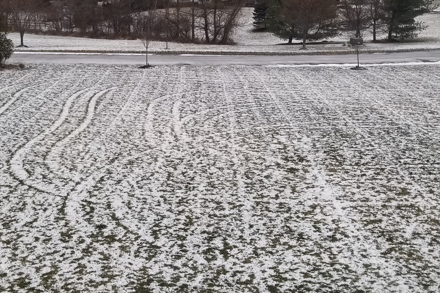
Many places in New Jersey simply reported a light dusting / coating; they include the 1/2″ that fell in Hopatcong, and Wantage and 0.2″ that fell in Mine Hill, and Brookside.
The snow came after heavy rains soaked the region. 3-4″ was reported across Kent and Sussex Counties in Delaware while 3.5-4.3″ of rain fell across Maryland. 2-4.45″ fell across New Jersey. Even Philadelphia International Airport saw heavy rain before the snow came; 2.08″ of rain was measured there.
