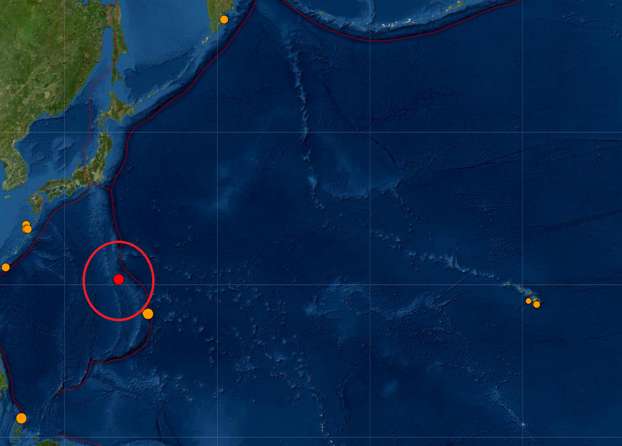
A strong magnitude 5.2 earthquake struck the Volcano Islands a short time ago in the Pacific; the earthquake was not strong enough to create a regional or Pacific-wide tsunami threat.
The earthquake struck at 3:08 UTC, 5:08 pm HT, 11:08 pm ET at 22.663°N 142.956°E at an exceptionally deep depth of 94 miles.
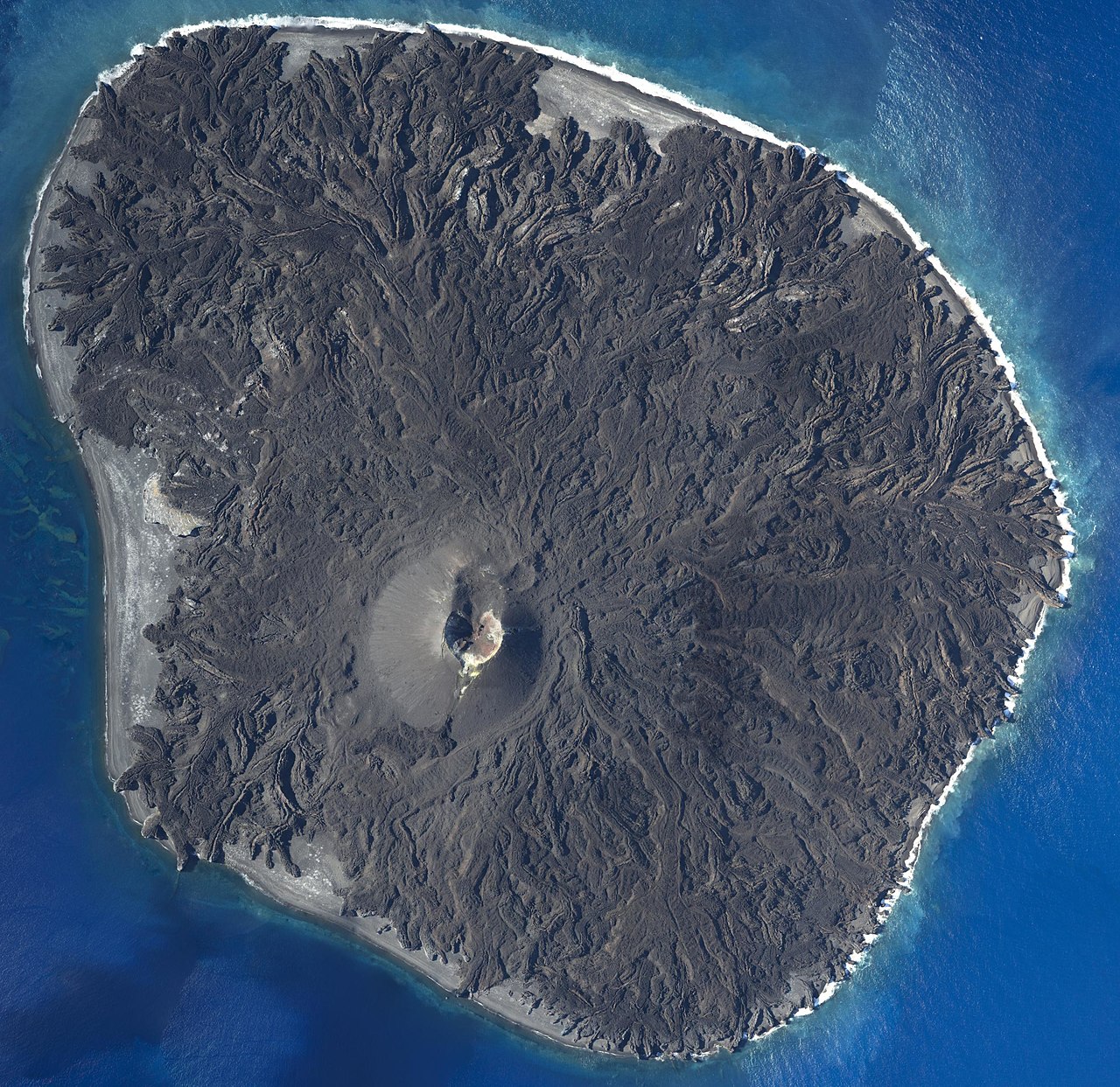
The Volcano Islands, also known by locals as the Iwo Islands, are a group of three volcanic islands south of the Ogasawara Islands of Japan roughly 600 miles south of Tokyo. The islands within this island arc include Kita Iwo Jima, Iwo Jima, and Minami Iwo Jima. Iwo Jima became famous in the Battle of Iwo Jima in January/February 1945, where more than 40,000 Japanese and American lives were lost. The iconic photograph of six U.S. Marines raising the U.S. flag was raised atop one of these volcanic islands.
While rich in history, the islands also have a rich geological history, sitting near the “Ring of Fire” at the border of the Pacific Plate and the Philippine Plate. In this part of the Pacific, the Pacific Plate is subducting west under the Philippine Plate, creating a zone where earthquakes and volcanoes are common.

Earlier in the day, a strong 5.2 earthquake also rocked the Mariana Islands region south of the Volcano Islands. North of Guam, the northern Mariana Island area is also seismically active. No damage was reported on nearby Saipan from that earthquake. A moderate 4.6 earthquake struck near Saipan just 6 days ago, with no damage reported from that earthquake either.
Despite the earthquake action, a volcanic eruption does not appear imminent in these islands at this time.