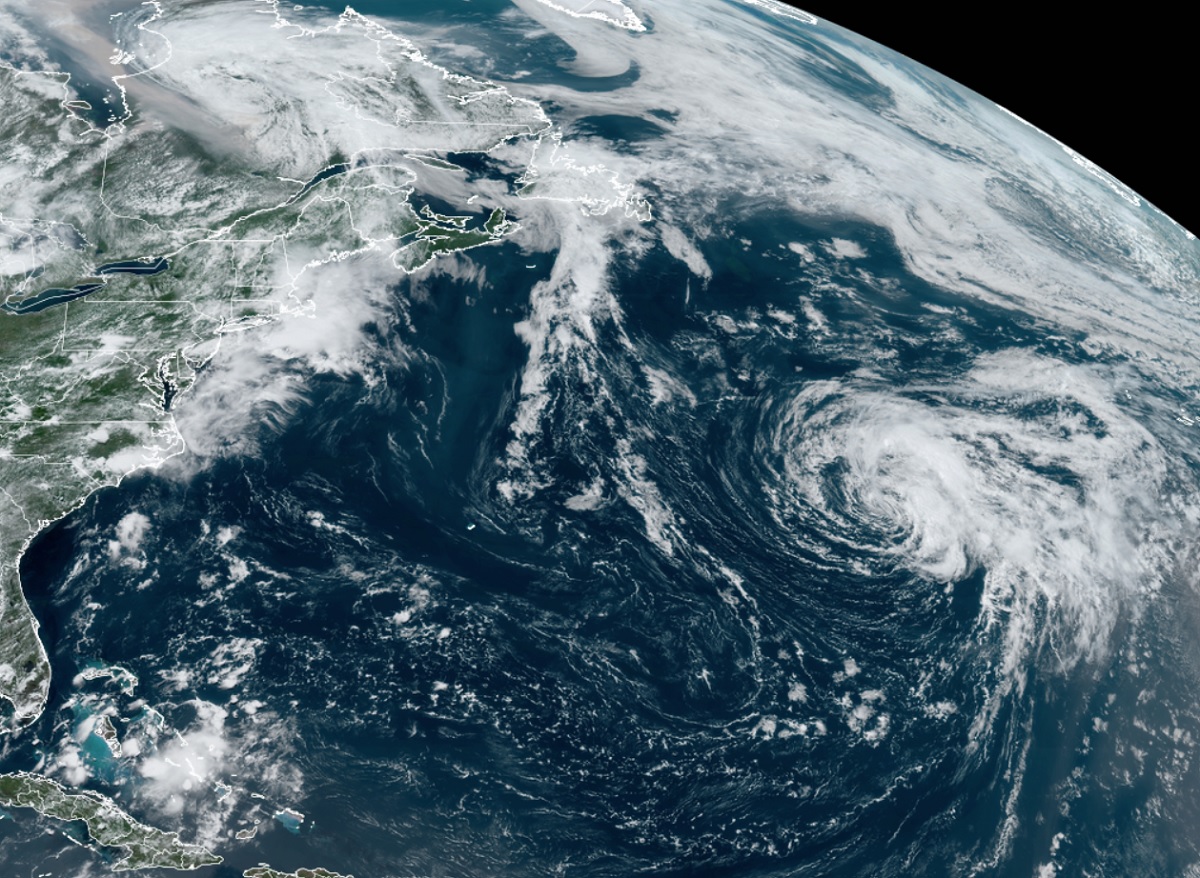
Subtropical Storm Don continues to spin about in the open waters of the central North Atlantic Ocean. It is losing strength and is expected to become a post tropical cyclone or even a remnant low at any time.
Subtropical cyclones typically are associated with upper-level lows and have colder temperatures aloft, whereas tropical cyclones are completely warm-core and upper-level high-pressure systems overhead help facilitate their intensification. Subtropical cyclones originate over tropical or subtropical waters and have a closed circulation about a well-defined center. Because of their structure, subtropical cyclones have their maximum winds relatively far from the center and have a less symmetric wind field and distribution of convection compared to tropical cyclones, where the most intense winds are near the center and are usually more symmetrical. Both subtropical and tropical cyclones in the Atlantic are named by the National Hurricane Center.
As of the latest advisory from the National Hurricane Center, Don was located about 1,170 miles west of the Azores. With maximum sustained winds of only 45 mph, estimated minimum central pressure is up to 1004 mb or 29.65″. The storm is moving to the north-northwest at 8 mph. According to the National Hurricane Center, Don is expected to continue moving north-northwest today, turn more north tomorrow, and then turn again towards the east by Sunday or Monday.
While the storm is losing its punch, it’s rather large. Winds of 40 mph extend outward up to about 205 miles from the center.