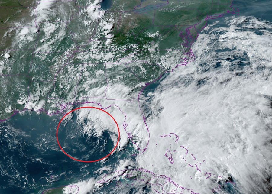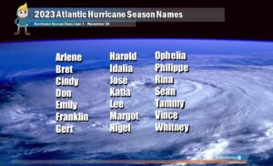
A swirl of clouds over the Gulf of Mexico is creating some concern near Florida on the day before the 2023 Atlantic Hurricane Season officially begins. The National Hurricane Center (NHC) in Miami, Florida is tracking the area of disturbed weather in the Gulf of Mexico, but doesn’t expect a tropical cyclone to form from it anytime soon.
According to a Tropical Outlook issued today by the NHC, an area of low pressure has formed over the northeastern Gulf of Mexico. Right now, the area of concern consists of disorganized showers and thunderstorms displaced to the northeast of its center. The NHC says that environmental conditions appear marginally favorable for some slow development over the next day or two as the system meanders over the northeastern Gulf of Mexico. However, by this weekend environmental conditions are forecast to become unfavorable for additional development as the system drifts southeastward towards the Florida Peninsula. For now, the NHC believes there’s a 20% chance that a tropical cyclone will form here over the next 48 hours.
Nevertheless, regardless of development, the system could produce heavy rainfall and gusty winds over portions of the Florida Peninsula through this weekend.

Due to repeated rounds of heavy rainfall expected over the next several days, the National Weather Service in Miami has already issued a Flood Watch for Glades, Hendry, Palm Beach, Broward, and Miami-Dade counties which include the cities of Miami, Homestead, Fort Lauderdale, West Palm Beach, Clewiston, and Palmdale. Widespread amounts of 2-4″ are possible through Friday, with localized amounts of 6″ possible in some spots. Heavy rainfall could result in localized flooding; the National Weather Service cautions: “turn around, don’t drown; never drive through flood waters.”
The 2023 Atlantic Hurricane Season officially kicks-off tomorrow. The Atlantic Season, like the Central Pacific Hurricane Season, runs through to the end of November.