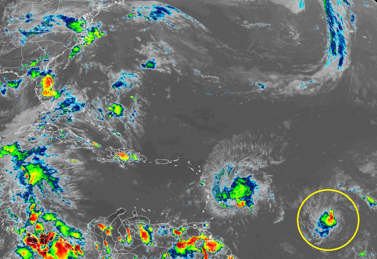
The National Hurricane Center (NHC) is forecasting that the latest tropical cyclone in the Atlantic, now known as Tropical Depression #4, is forecast to grow and become Tropical Storm Cindy in the coming days. The storm system is located east of Tropical Storm Bret in the central Atlantic but is forecast to take a different track than Bret is. There are no watches or warnings in effect due to this developing storm.
According to the NHC, Tropical Depression #4 continues to exhibit a shear pattern on satellite imagery with the center located to the east of the main area of deep convection. Banding features are not very well defined at this time. Although the low-level center is perhaps a little better defined than it was earlier today, there has been little change to the overall convective organization. The NHC says that the tropical cyclone will remain over warm waters and within a marginally moist atmosphere for the next several days, which should allow at least gradual strengthening during the next couple of days. The main factor for the longer-term future intensity of the system is likely to be a large upper-level trough that extends from the northeastern Caribbean Sea northeastward into the Atlantic for several hundred miles. Until it enters a more hostile environment, it is forecast to grow into Tropical Storm Cindy as soon as this evening.
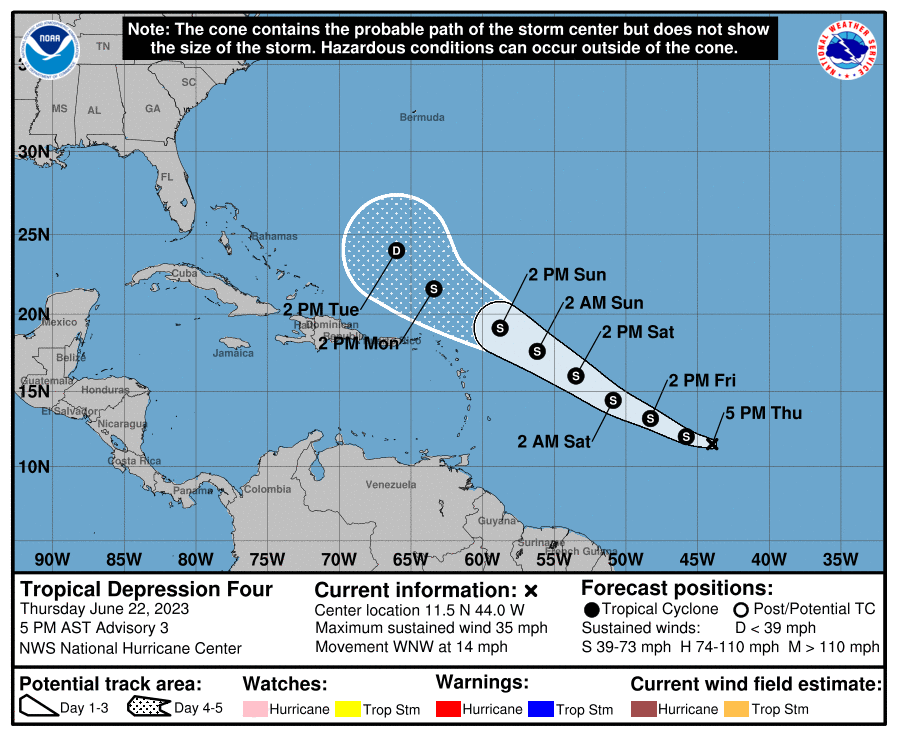
The upper level trough though is expected to interact with the system in about 2-3 days, and the associated increase in vertical shear will likely cause
some weakening. The NHC says that in about 5 days, when the system nears subtropical latitudes, the shear may decrease, but it is not yet clear that the cyclone will be able to make a comeback by that time.
For now, the system should continue on a generally west-northwestward, to nearly northwestward, path along the periphery of a subtropical high pressure area. As a result, the official NHC track forecast keeps the center of the storm away from Caribbean and Bahama Islands for now.
