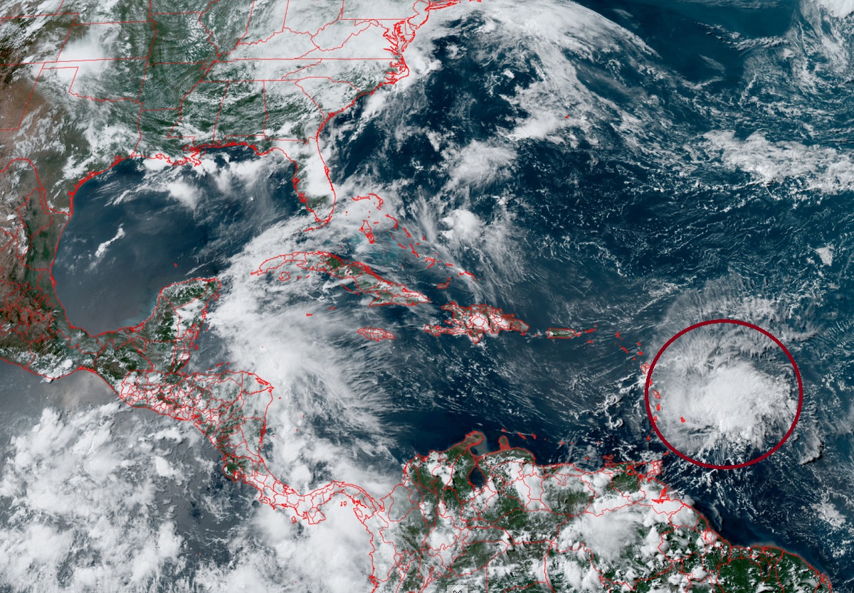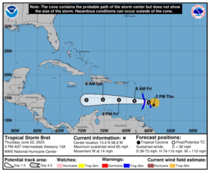
Tropical Storm Watches and Warnings and a Hurricane Watch is in effect ahead of Tropical Storm Bret’s expected impacts to land later today. As of the latest update from the National Hurricane Center (NHC), Bret was located about 45 miles east-northeast of Barbados and about 140 miles east-southeast of St. Lucia. Maximum sustained winds are up to 65 mph, shy of the 74 mph required to become classified as a hurricane. With a minimum central pressure of 1002 mb or 29.59″, the storm is moving to the west at 14 mph.
Various watches and warnings are now in effect. The government of Barbados has upgraded the Tropical Storm Watch to a Tropical Storm Warning for Barbados and St. Vincent and the Grenadines. A Hurricane Watch is in effect for St. Lucia. A Tropical Storm Warning is also in effect for Dominica, St. Lucia, and Martinique. A Hurricane Watch means that hurricane conditions are possible within the watch area, in this case within the next 24 hours. A Tropical Storm Warning means that tropical storm conditions are expected somewhere within the warning area, in this case within 24 hours. The NHC says that additional watches or warnings may be required later today for portions of the Lesser Antilles.

While Bret is moving to to the west at 14 mph for now, the NHC expects the forward speed to increase over the next few days. Based on its track, the NHC believes the center of Bret will move across the Lesser Antilles this evening and tonight, and then move westward across the eastern and central Caribbean Sea Friday and Saturday. Maximum sustained winds are at 65 mph and aren’t forecast to change much prior to landfall, but a slight strengthening or weakening is possible. And because it is so close to hurricane status now, becoming a hurricane at landfall, while remote, can’t be ruled out. Beyond landfall tonight, the NHC says that gradual weakening is anticipated over the next couple of days, and the system is likely to dissipate over the central Caribbean Sea by Saturday night or early Sunday.
A variety of wind, rain, and surf hazards will lash the warning zone later today into tomorrow. Hurricane wind conditions are possible in the hurricane watch area this evening or tonight. Tropical storm conditions are expected within the tropical storm warning areas through tonight. Storm total rainfall amounts of 3-6″ with maximum amounts of 10″ are possible across portions of the Lesser Antilles from Guadeloupe south to St Vincent and the Grenadines, including Barbados. The heavy rainfall could lead to flash flooding, especially across areas of higher terrain. Urban flooding is also possible. Swells generated by Bret are expected to affect portions of the Lesser Antilles through Friday. These swells are likely to cause life-threatening surf and rip current conditions.