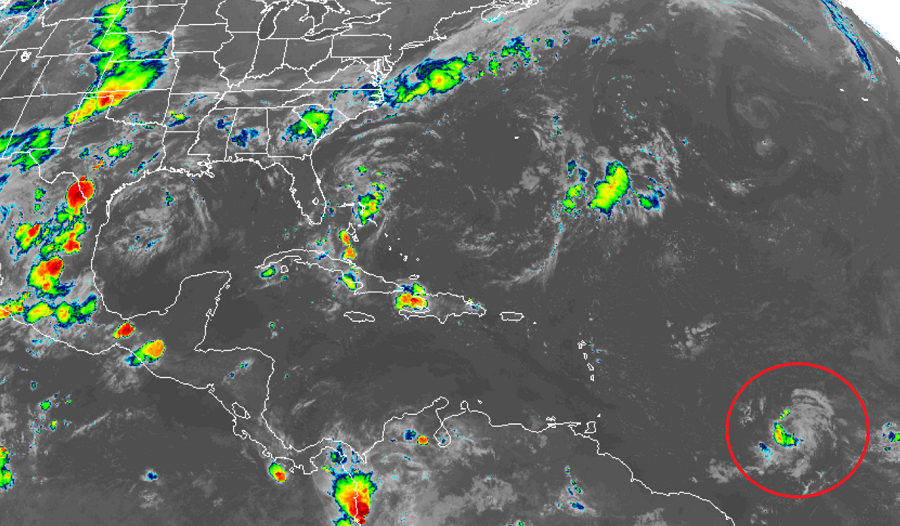
The National Hurricane Center has just classified a new disturbance in the central Atlantic to the fifth Tropical Depression of the 2019 Atlantic Hurricane Season. The season runs from now through the end of November; it generally peaks by mid-September.
As of 11am AT, the center of newly formed Tropical Depression Five was located near latitude 10.4 North, longitude 47.9 West. The depression is moving toward the west near 12 mph and this general motion is expected by the National Hurricane Center to continue today. A turn toward the west-northwest is forecast on Sunday, and that motion is expected to continue through Tuesday. On the forecast track, the tropical cyclone is expected to be near the central Lesser Antilles on Tuesday.
Right now, the Tropical Depression has maximum sustained winds are near 35 mph with higher gusts. Gradual strengthening is forecast during the next few days, and the depression is forecast to become a tropical storm later tonight or on Sunday. The estimated minimum central pressure is 1010 mb or 29.83 inches.
When the system becomes a Tropical Storm, it would be named Dorian.

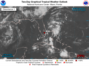
The National Hurricane Center is also tracking a disturbance closer to the United States for development. A broad area of low pressure located inland over South Florida is producing a large area of disorganized showers and thunderstorms that extends eastward over the northwestern Bahamas and the adjacent Atlantic waters. Significant development of the low is unlikely today while it drifts northward over the southern or central Florida peninsula. However, environmental conditions appear conducive for gradual development once the low moves off the east-central coast of Florida over the western Atlantic by Sunday, and a tropical or subtropical depression is likely to form early next week while the system moves northeastward offshore of the southeastern United States coast.
Regardless of development of this new system, locally heavy rains are possible over the northwestern Bahamas and the southern and central Florida peninsula through the weekend. The Air Force Reserve Hurricane Hunter aircraft scheduled to investigate the system this afternoon could be postponed if the center of the low remains inland. Another aircraft is scheduled to investigate the system on
Sunday. The National Hurricane Center believes there’s a 70% chance that a tropical cyclone will form from this disturbance over the next 48 hours; those chances grow to 90% over the next 5 days.
Elsewhere in the Atlantic, there are no other areas of concern for tropical cyclone formation at this time.