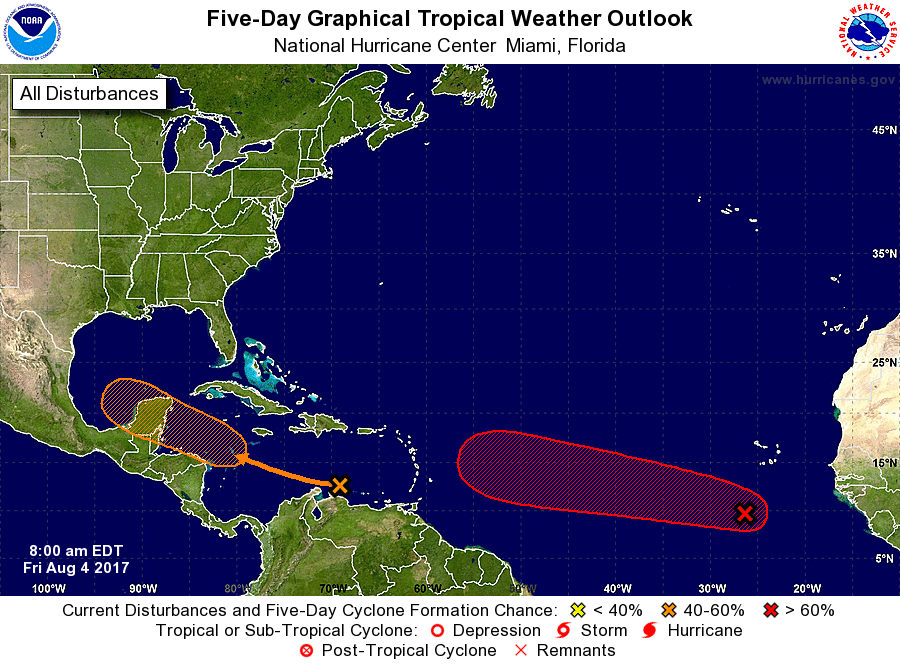
The National Hurricane Center (NHC) is tracking two threats in the tropical Atlantic; one of these storms from this double threat could be trouble for those planning travel around the Great American Solar Eclipse on August 21.
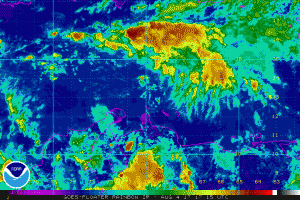
The disturbance closest to the United States has a good chance of developing into a tropical cyclone over the next five days. A tropical wave is producing disorganized showers and thunderstorms over the central and eastern Caribbean Sea; according to the NHC, this disturbance is expected to move west-northwestward at about 15 mph across the western Caribbean Sea and Bay of Campeche through the middle of next week, where environmental conditions appear conducive for development. While the NHC believes chances of development are low over the next 48 hours for tropical cyclone formation (20%), the chance of development is up to 60% for the next five day period.
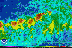
A system even farther away has an even better chance of developing into a tropical cyclone. A broad and elongated area of low pressure is producing disorganized shower and thunderstorm activity several hundred miles south and southwest of the Cabo Verde Islands. Environmental conditions appear conducive for this system to consolidate and develop during the next few days. The National Hurricane Center says a tropical depression is likely to form by
the early or middle part of next week while moving west-northwestward at 15 to 20 mph across the tropical Atlantic Ocean. While chances of development over the next 48 hours are 50-50, the National Hurricane Center believes tropical cyclone formation is likely, pegging it at 80% over the next five days.
Computer forecast models that provide aid to meteorologists and their forecasting suggest this second system may be a considerable threat to the United States. While long range guidance cannot be trusted this far out, the American forecast model (GFS) has been suggesting an east coast landfall is possible in the days leading up to the Great American Solar Eclipse on August 21. With the population of the southeastern United States swelling ahead of the solar eclipse event, there’s extra attention and scrutiny being applied to long range forecasts there.
The American GFS model has been inconsistent in its forecast path and track for this disturbance to date, but as the system forms and moves closer to the United States from the open waters of the Atlantic, it will increase its accuracy with more believable, trustworthy forecast guidance. Until then, while the guidance should not be completely dismissed, it is too soon to put too much faith in forecast models that suggest a landfall so far away.
Nevertheless, people planning any travel for the Solar Eclipse, especially into the southeastern United States where totality will be experienced, should keep a watchful eye on the forecast and become familiar with what to do in these areas if a storm threat does materialize.
Experts believe this Atlantic Hurricane Season, which runs through to the end of November, will be a busy one. Dr. Phil Klotzbach and the experts at Colorado State University updated their seasonal outlook again on July 5, showing a much more active than normal season expected. The National Oceanic and Atmospheric Administration (NOAA) also released their own forecast which shows this hurricane season to be likely more active than others.
