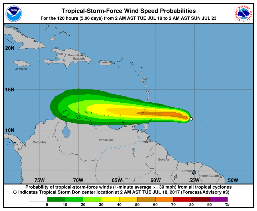
Tropical Storm Don continues to move west, prompting new advisories for the arriving storm. Tropical Storm Warnings are up for Grenada and St. Vincent and the Grenadines. Tropical Storm Watches are up for Barbados, St. Lucia, and now Bonaire.
On its current forecast track, Don could still be a tropical cyclone as it passes near or over Aruba later on Wednesday. Residents and visitors there and elsewhere along the path of this storm should closely monitor it for any changes in strength, forward motion, or direction.

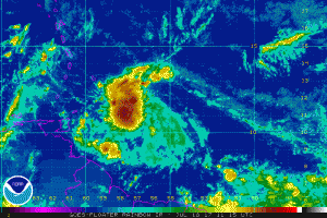
Don’s convective pattern has continued to improve overnight and early this morning, including the development of a pronounced central dense overcast (CDO) feature. There have also been periodic bursts of deep convection very near the center, accompanied by significant clusters of lightning activity, which is indicative of strong updrafts in or near the radius of maximum winds.
According to the National Hurricane Center (NHC), there is no change to the previous track forecast or reasoning. Although the computer forecast models that meteorologists use to aid their forecasting continue to differ some on Don’s forward speed, there is very little cross-track difference. The models are in good agreement that the broad Bermuda-Azores ridge to north of the cyclone will remain strong and move little for the next several days, which should act to keep Don moving briskly westward until dissipation occurs at around 72 hours. The new NHC forecast track is essentially just an extension of the previous advisory track.
Don is expected to remain embedded within a narrow east-west zone of low vertical wind shear for another 24-36 hours, which should allow for some additional strengthening. Since Don is a compact tropical cyclone, significant changes in intensity — both up and down — can occur due to small fluctuations in wind shear and/or interaction
with the mountainous Windward Islands. By 36 hours, increasing westerly shear is expected to cause Don to weaken while it moves across the southeastern Caribbean Sea, and degeneration into an open wave is forecast to occur by 72 hours.
The NHC intensity forecast is similar to the previous advisory and remains below the consensus models ICON and IVCN. However, the intensity guidance continues to vary widely between only showing an open wave (most of the global models) to Don achieving hurricane strength (HWRF, ECMWF, and some of the statistical models). As a result, confidence in the intensity forecast remains low.