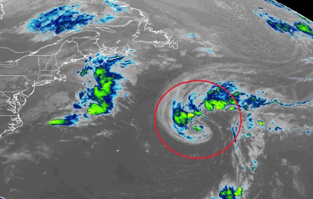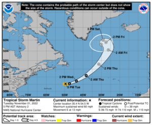
Newly formed Tropical Storm Martin is forecast to become a large, powerful hurricane in the Atlantic in the coming days and become a threat to trans-oceanic shipping lanes across the Atlantic. The storm, located about 630 miles east-northeast of Bermuda, is moving east across the Atlantic, away from North America.
Tropical Storm Martin now has winds of 60 mph and an estimated minimum central pressure of 991 mb or 29.27″.

According to the National Hurricane Center, the tropical storm is anticipated to turn toward the northeast at a faster rate of forward speed during the next two days. Some strengthening is forecast during the next 48 hours and Martin is expected to become a hurricane by Wednesday afternoon or night before transitioning to a powerful extratropical system on Thursday.
Either as a hurricane or an extratropical system, the storm will whip up strong winds and dangerous waves over the central Atlantic, posing a threat to any ships in its path. The storm will also become larger and wider in the coming days, bringing a threat to ships over a very large area.
Martin is the most recent name for a tropical cyclone in the Atlantic for an active hurricane season. The Atlantic Hurricane Season runs through to the end of this month.